Randolph Field Historic District
|
Randolph Field Historic District | |
|
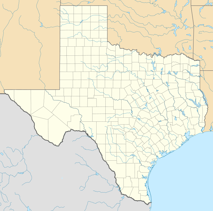
The Base Administration Building, nicknamed the "Taj Mahal", in 1942 | |
  | |
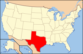
| Nearest city | San Antonio, Texas, USA |
|---|---|
| Coordinates | 29°31′56″N 98°16′48″W / 29.53222°N 98.28000°WCoordinates: 29°31′56″N 98°16′48″W / 29.53222°N 98.28000°W |
| Area | 405 acres (1.64 km2)[1] |
| Built | 1931 |
| Architect | multiple |
| Architectural style | Mission Revival-Spanish Colonial Revival-Streamline Moderne |
| MPS | Randolph Air Force Base MPS |
| NRHP Reference # | 96000753 |
| Significant dates | |
| Added to NRHP | July 8, 1996[2] |
| Designated NHLD | August 7, 2001[3] |
Randolph Field Historic District is a historic district located within Randolph Air Force Base, near San Antonio, Texas, USA. The 405-acre (1.64 km2) site includes 350 contributing buildings, sites, and structures, and 47 non-contributing ones; in the Mission Revival, Spanish Colonial Revival, and Streamline Moderne styles.
It was declared a National Historic Landmark in 2001.[1][3]
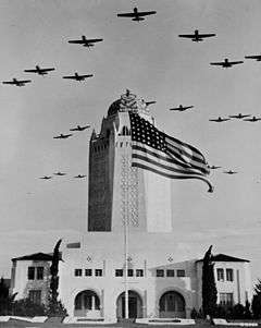
Base Administration Building, a contributing structure, is itself listed in the National Register of Historic Places.
The Base Administration Building, long known as "The Taj Mahal", shown about 2008.
References
- 1 2 Jody Cook and John H. Sprinkle, Jr. (February 26, 2001). "National Historic Landmark Nomination: Randolph Field Historic District" (pdf). National Park Service. and Accompanying 12 photos, aerial, exteriors and interiors, from 1931, 1932, 1934, 1939, and undated (32 KB)
- ↑ National Park Service (2008-04-15). "National Register Information System". National Register of Historic Places. National Park Service.
- 1 2 "Randolph Field Historic District". National Historic Landmark summary listing. National Park Service. Retrieved 2008-06-24.
External links

This article is issued from Wikipedia - version of the 11/26/2016. The text is available under the Creative Commons Attribution/Share Alike but additional terms may apply for the media files.