Raysut
| Raysut | |
|---|---|
| Town | |
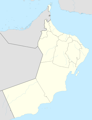 Raysut Location in Oman | |
| Coordinates: 16°56′3″N 53°59′33″E / 16.93417°N 53.99250°ECoordinates: 16°56′3″N 53°59′33″E / 16.93417°N 53.99250°E | |
| Country |
|
| Governorate | Dhofar Governorate |
| Time zone | +4 (UTC+4) |
Raysut (Arabic: ريسوت) is a port town in southwestern Oman.[1] It is located at around 16°56′3″N 53°59′33″E / 16.93417°N 53.99250°E.
Climate
| Climate data for Raysut (1991-2009) | |||||||||||||
|---|---|---|---|---|---|---|---|---|---|---|---|---|---|
| Month | Jan | Feb | Mar | Apr | May | Jun | Jul | Aug | Sep | Oct | Nov | Dec | Year |
| Average high °C (°F) | 26.9 (80.4) |
27.4 (81.3) |
29.0 (84.2) |
30.0 (86) |
31.1 (88) |
30.1 (86.2) |
26.8 (80.2) |
26.5 (79.7) |
27.5 (81.5) |
29.5 (85.1) |
30.0 (86) |
28.4 (83.1) |
28.6 (83.5) |
| Average low °C (°F) | 19.9 (67.8) |
20.5 (68.9) |
21.9 (71.4) |
24.8 (76.6) |
26.8 (80.2) |
26.8 (80.2) |
23.9 (75) |
23.1 (73.6) |
23.8 (74.8) |
22.9 (73.2) |
22.6 (72.7) |
21.5 (70.7) |
23.2 (73.8) |
| Average precipitation mm (inches) | 1.1 (0.043) |
0.1 (0.004) |
5.8 (0.228) |
2.1 (0.083) |
12.9 (0.508) |
4.8 (0.189) |
24.3 (0.957) |
21.9 (0.862) |
16.6 (0.654) |
6.4 (0.252) |
1.9 (0.075) |
1.5 (0.059) |
99.4 (3.913) |
| Source: World Meteorological Organization (temperature and rainfall 1991–2009)[2] | |||||||||||||
References
- ↑ National Geospatial-Intelligence Agency. GeoNames database entry. (search) Accessed 12 May 2011.
- ↑ "Climatological Information - Raysut". World Meteorological Organization. Retrieved 21 April 2016.
This article is issued from Wikipedia - version of the 9/19/2016. The text is available under the Creative Commons Attribution/Share Alike but additional terms may apply for the media files.