Rew Street
Coordinates: 50°44′44″N 1°20′02″W / 50.74545°N 1.33391°W
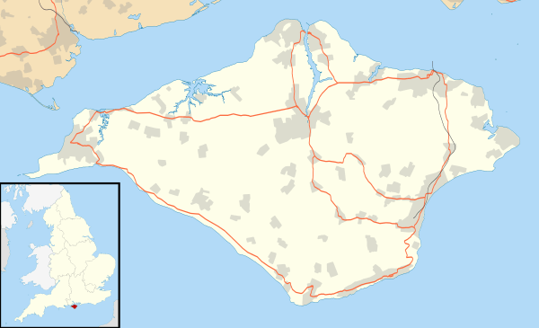
Rew Street is a village on the Isle of Wight.[1] It is located three kilometres southwest of Cowes in the north of the island.[2] The village lies along the main road between Porchfield and Gurnard and consists of several farming communities. As a result, many of the houses in the area have been converted from old barns.[3]
References
- ↑ "Isle of Wight Nostalgia Site: Glossary of place names". www.invectis.co.uk. Retrieved 2008-09-30.
- ↑ "Multi-map - Map of Rew Street". www.multimap.com. Retrieved 2008-09-30.
- ↑ "Gurnard Village". Gurnard Parish Council. Retrieved 2009-06-04.
Isle of Wight Portal | |
| Unitary authorities | |
| Major settlements | |
| Rivers | |
| Topics | |
This article is issued from Wikipedia - version of the 9/19/2015. The text is available under the Creative Commons Attribution/Share Alike but additional terms may apply for the media files.