Rio Tinto, Nevada
| Rio Tinto, Nevada | |
|---|---|
| Ghost town | |
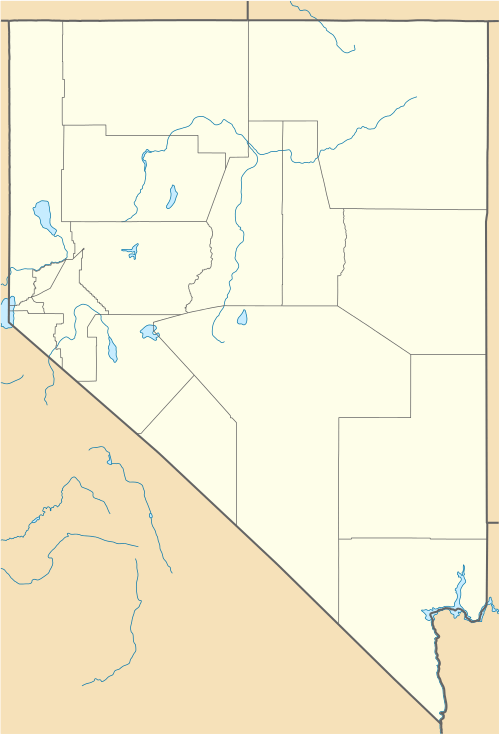 Rio Tinto  Rio Tinto Location within the state of Nevada | |
| Coordinates: 41°48′34″N 115°58′51″W / 41.80944°N 115.98083°WCoordinates: 41°48′34″N 115°58′51″W / 41.80944°N 115.98083°W | |
| Country | United States |
| State | Nevada |
| County | Elko |
| Elevation | 6,096 ft (1,858 m) |
| Time zone | Pacific (PST) (UTC-8) |
| • Summer (DST) | PDT (UTC-7) |
Rio Tinto is a ghost town in Elko County, Nevada in the United States.
History
Rio Tinto was one of the last mining boom towns. It was named after the prosperous copper mines in Andalusia, Spain that produced ore for 3,000 years.. The discovery of copper mines near Rio Tinto is credited to Franklyn Hunt who had explored in the west for many years. Hunt had found traces of copper a few miles from Mountain City, Nevada. He had claimed his discovery, but no one except the Davidson brothers had enough faith in Hunt to grub stake him.[1] For years, Hunt predicted that ore would be found at 250-foot (76 m). He found copper in 1932. This information spread and started a rush in the area, including creation of the town. Rio Tinto was not affected by the onset of World War II. The decline of the mine began after the end of the war: the price of copper had deceased and the mine became unprofitable. All operations had ceased by 1948 and Rio Tinto quickly became a ghost town.[2] Some cleanup was done, and many of the old buildings were moved. Nowadays what remains are a few houses and the school (the largest building).[3]
Notes
- ↑ ghosttowns.com. "Rio Tinto". Retrieved 2013-03-05.
- ↑ "Rio Tinto". ghosttowns.com. Retrieved 2013-03-05.
- ↑ Crockett, Ryan. "Rio Tinto". www.ghosttowns.com. Retrieved 2013-03-05.
Municipalities and communities of Elko County, Nevada, United States | ||
|---|---|---|
| Cities | 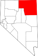 | |
| CDPs | ||
| Other unincorporated communities | ||
| Indian reservation | ||
| Ghost towns | ||