Road Forks, New Mexico
| Road Forks | |
|---|---|
| Unincorporated community | |
|
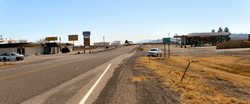
Looking south from Interstate-10 | |
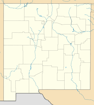 Road Forks  Road Forks Location within the state of New Mexico | |
| Coordinates: 32°14′23″N 108°57′10″W / 32.23972°N 108.95278°WCoordinates: 32°14′23″N 108°57′10″W / 32.23972°N 108.95278°W | |
| Country | United States |
| State | New Mexico |
| County | Hidalgo |
| Elevation[1] | 4,193 ft (1,278 m) |
| Time zone | Mountain (MST) (UTC-7) |
| • Summer (DST) | MDT (UTC-6) |
| ZIP codes | 88045 |
| Area code(s) | 575 |
| GNIS feature ID | 893996 |
Road Forks is an unincorporated community in western Hidalgo County, New Mexico, United States, in the southwestern corner of the state.[1] It is 6.2 miles (10 km) east of the Arizona border, due east of Stern's Mountain, and at the junction of Interstate 10 and NM Route 80. It is 15 miles (24 km) southwest of the city of Lordsburg and 3 miles (4.8 km) east of Steins, New Mexico. Road Forks had a post office from shortly after its founding in 1925 until 1955, when postal services were transferred to Lordsburg.[2]
History
Road Forks was founded in 1925 by Mr. and Mrs. G. H. Porter, who gave it its name.[2]
Notes
Municipalities and communities of Hidalgo County, New Mexico, United States | ||
|---|---|---|
| City | 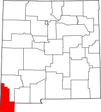 | |
| Village | ||
| CDPs | ||
| Other unincorporated communities | ||
| Ghost towns |
| |
This article is issued from Wikipedia - version of the 11/7/2016. The text is available under the Creative Commons Attribution/Share Alike but additional terms may apply for the media files.