Rooberg
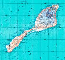
Topographic map of Jan Mayen
Rooberg (English: Red Mountain) is a 50 m (165 ft) hill at Sjuhollendarbukta, a bay on the northwestern coast of the island of Jan Mayen. The hill is often mentioned during the Dutch wintering at Jan Mayen in 1633-34.
References
- Norwegian Polar Institute Place Names of Svalbard Database
Coordinates: 70°55.3′N 8°53.9′W / 70.9217°N 8.8983°W
This article is issued from Wikipedia - version of the 10/31/2016. The text is available under the Creative Commons Attribution/Share Alike but additional terms may apply for the media files.