Sam Black Church, West Virginia
| Sam Black Church | |
|---|---|
| Unincorporated community | |
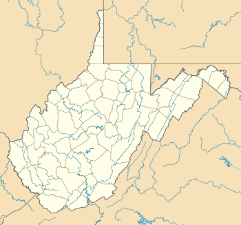 Sam Black Church  Sam Black Church Location within the state of West Virginia | |
| Coordinates: 37°53′56″N 80°37′52″W / 37.89889°N 80.63111°WCoordinates: 37°53′56″N 80°37′52″W / 37.89889°N 80.63111°W | |
| Country | United States |
| State | West Virginia |
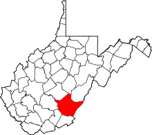
| County | Greenbrier |
| Time zone | Eastern (EST) (UTC-5) |
| • Summer (DST) | EDT (UTC-4) |
Sam Black Church is an unincorporated community in Greenbrier County, West Virginia, United States. It is located at the intersection of Interstate 64 and U.S. Route 60 on the Midland Trail, a National Scenic Byway. The community is named for Sam Black Church, a Registered Historic Place which is nearby.
This article is issued from Wikipedia - version of the 7/28/2016. The text is available under the Creative Commons Attribution/Share Alike but additional terms may apply for the media files.