Sango, Tennessee
| Sango | |
|---|---|
| Unincorporated community | |
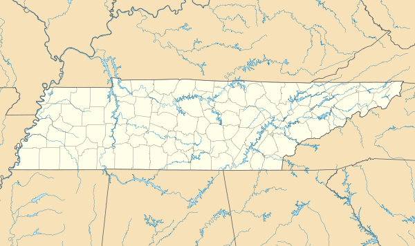 Sango Location within the state of Tennessee | |
| Coordinates: 36°30′17″N 87°15′12″W / 36.50472°N 87.25333°WCoordinates: 36°30′17″N 87°15′12″W / 36.50472°N 87.25333°W | |
| Country | United States |
| State | Tennessee |
| County | Montgomery |
| Time zone | Central (CST) (UTC-6) |
| • Summer (DST) | CDT (UTC-5) |
Sango is an unincorporated community in the southeastern corner of Montgomery County, Tennessee, approximately five miles east of Clarksville. It is located near Interstate 24, approximately 30 minutes northwest of Nashville.
Once primarily a rural community consisting largely of prime farmland, many new housing developments have gone up in the past few years.
From before the Civil War to at least 1990, tobacco was the main cash crop in Sango. Besides burley and some flue-cured tobaccos, high quality dark-fired (wood smoke - cured) tobacco was grown in Sango, as well as throughout Montgomery County. During the tobacco wars of 1904 to 1908 (between the farmers and the Duke tobacco monopoly), a key battle between the "Night Riders" (farmers) and agents of the tobacco monopoly took place at the intersection of Bagwell and Sango Roads, in eastern Sango.
As Sango is neither an incorporated community nor a census-designated place, it has no clearly defined boundaries. It roughly covers an area stretching from U.S. Route 41 Alternate to just beyond Interstate 24.
Municipalities and communities of Montgomery County, Tennessee, United States | ||
|---|---|---|
| City | ||
| Unincorporated communities | ||
| Military base | ||
| Ghost town | ||