Sapello, New Mexico
| Sapello | |
|---|---|
| Unincorporated community | |
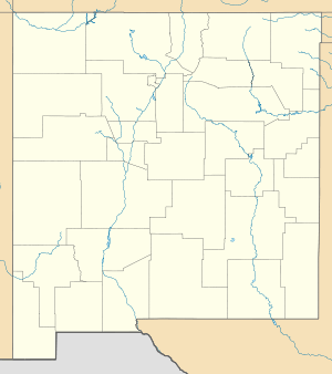 Sapello  Sapello Location within the state of New Mexico | |
| Coordinates: 35°46′22″N 105°15′12″W / 35.77278°N 105.25333°WCoordinates: 35°46′22″N 105°15′12″W / 35.77278°N 105.25333°W | |
| Country | United States |
| State | New Mexico |
| County | San Miguel |
| Elevation | 6,968 ft (2,124 m) |
| Time zone | Mountain (MST) (UTC-7) |
| • Summer (DST) | MDT (UTC-6) |
| ZIP codes | 87745[1] |
| Area code(s) | 505 |
| GNIS feature ID | 910814[2] |
Sapello is an unincorporated community located in San Miguel County, New Mexico, United States. The community is located at the junction of New Mexico State Road 94 and New Mexico State Road 518 12.5 miles (20.1 km) north of Las Vegas, New Mexico. Sapello was a trading post along the Santa Fe Trail.[3]
Sapello is a popular site for astronomers, as it has little light pollution at night. The minor planet 143641 Sapello was named for the community.[3]
References
- ↑ United States Postal Service. "USPS - Look Up a ZIP Code". Retrieved November 30, 2014.
- ↑ "Sapello". Geographic Names Information System. United States Geological Survey.
- 1 2 "143641 Sapello (2003 NK5)". JPL Small-Body Database Browser. Jet Propulsion Laboratory. Retrieved November 30, 2014.
Municipalities and communities of San Miguel County, New Mexico, United States | ||
|---|---|---|
| City | 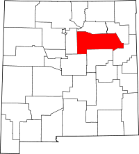 | |
| Villages | ||
| CDPs |
| |
| Other unincorporated communities | ||
| Ghost towns | ||
| Footnotes | ‡This populated place also has portions in an adjacent county or counties | |
This article is issued from Wikipedia - version of the 8/7/2016. The text is available under the Creative Commons Attribution/Share Alike but additional terms may apply for the media files.