Seskar Furö
 Seskar Furö | |
| Geography | |
|---|---|
| Coordinates | 65°38′35″N 23°47′16″E / 65.642987°N 23.78779°ECoordinates: 65°38′35″N 23°47′16″E / 65.642987°N 23.78779°E |
| Adjacent bodies of water | Bay of Bothnia |
| Area | 3 km2 (1.2 sq mi) |
| Administration | |
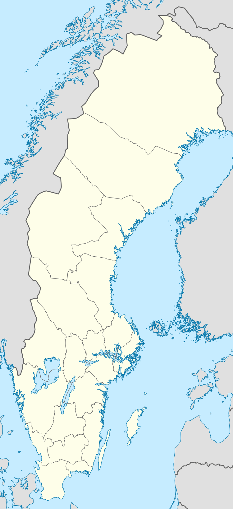
| Province | Norrbotten |
| Municipality | Haparanda |
| Demographics | |
| Population | uninhabited |
Seskar Furö is an uninhabited island in the northeast of the Swedish sector of the Bay of Bothnia. It is now part of a national park.
Location
Seskar Furö is the second largest island in the Haparanda Archipelago National Park (Swedish: Haparanda skärgårds nationalpark), in the Haparanda archipelago, to the west of the Finnish Perämeri National Park. All of the islands in the Harapanda archipelago have emerged in the last 1,500 years or so, as the bed of the bay has risen due to post-glacial rebound following the last ice age.The land continues to rise at about 8.5 millimetres (0.33 in) per year, so the island is steadily expanding.[1]
The island is sandy, with large dunes on the western shores. It is mostly covered by relatively undisturbed pine forests. There are remains of a former fishing village, including a turf maze.[2]
References
Sources
- "Haparanda Skärgård National Park". Swedish Environmental Protection Agency. Retrieved 2013-10-02.
- "Seskar-Furö". bottenviken.se. Retrieved 2013-10-03.