Sommet du Pinet
| Sommet du Pinet | |
|---|---|
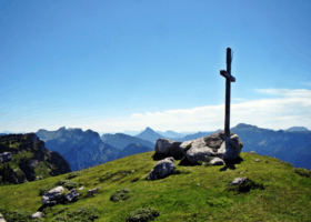 Cross at the top, with the Lances de Malissard in the background | |
| Highest point | |
| Elevation | 1,867 m (6,125 ft) |
| Coordinates | 45°25′57″N 05°54′14″E / 45.43250°N 5.90389°ECoordinates: 45°25′57″N 05°54′14″E / 45.43250°N 5.90389°E |
| Geography | |
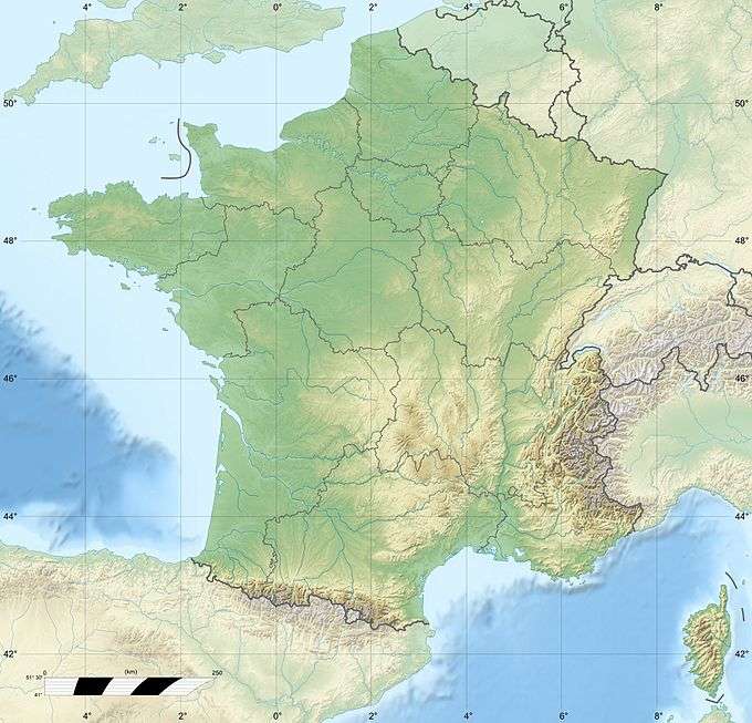 Sommet du Pinet France | |
| Location | Savoie, France |
| Parent range | Chartreuse Mountains |
The Sommet du Pinet (or Le Pinet or Le Truc) is a Chartreuse mountain situated at the south of the mont Granier, culminating at 1,867 m above sea level.
Located between the townships of Entremont-le-Vieux, Saint-Pierre-d'Entremont in Savoie and Sainte-Marie-du-Mont, its ridge marks the border between Isère and Savoie.
Ascension
A departure for an hike is located at Saint-Pierre-d'Entremont in Savoie
This article is issued from Wikipedia - version of the 8/30/2015. The text is available under the Creative Commons Attribution/Share Alike but additional terms may apply for the media files.