Spence's Point
|
Spence's Point (John Roderigo Dos Passos House) | |
|
Spence's Point in 1971 | |
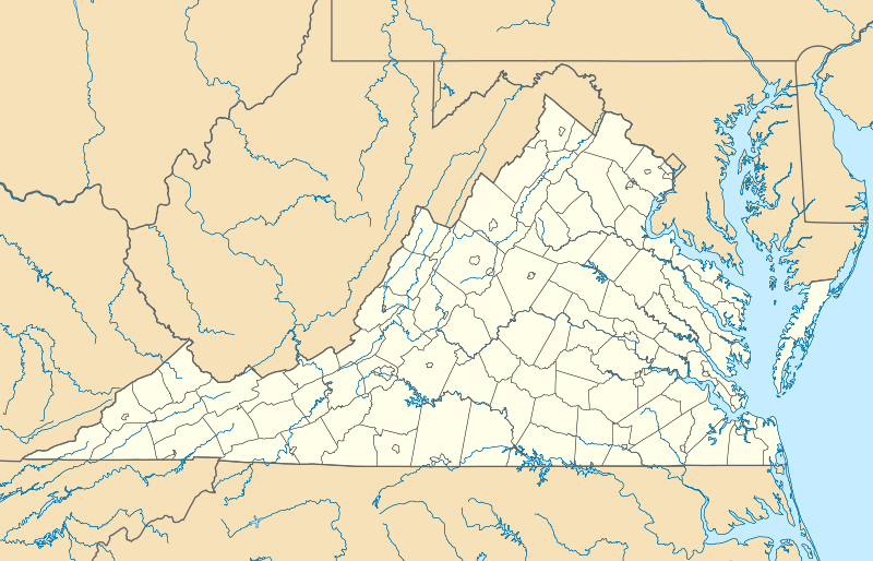  | |
| Location | On Sandy Point Neck, on VA 749, Westmoreland, Virginia |
|---|---|
| Coordinates | 38°04′46″N 76°33′26″W / 38.07944°N 76.55722°WCoordinates: 38°04′46″N 76°33′26″W / 38.07944°N 76.55722°W |
| Area | 1,800 acres (730 ha) |
| Built | 1942 |
| Architect | Unknown |
| Architectural style | Georgian |
| NRHP Reference # | 71000991[1] |
| VLR # | 096-0022 |
| Significant dates | |
| Added to NRHP | November 11, 1971 |
| Designated NHL | November 11, 1971[2] |
| Designated VLR | February 20, 1973[3] |
.jpg)
Spence's Point, on the Potomac River near Westmoreland, Virginia, also known as John R. Dos Passos Farm, was the home of writer John Dos Passos. It was declared a National Historic Landmark in 1971.[2][4]
The house on the farm is a simple Federal style building.[4] The boundaries of the landmark include the farm and its house "as well as the boyhood home of John Dos Passos on the northwest side of the intersection of Routes 604 and 610."[4]
The farm is located on the Potomac River, on Sandy Point Neck, on Route 749 about .3 miles northeast of its junction with Route 610.[4]
References
- ↑ National Park Service (2010-07-09). "National Register Information System". National Register of Historic Places. National Park Service.
- 1 2 "Spence's Point (John Roderigo Dos Passos House)". National Historic Landmark summary listing. National Park Service. Retrieved 2008-04-21.
- ↑ "Virginia Landmarks Register". Virginia Department of Historic Resources. Retrieved 5 June 2013.
- 1 2 3 4 Robert S. Gamble (June 17, 1971). "National Register of Historic Places Inventory-Nomination: John R. Dos Passos Farm / Spence's Point" (pdf). National Park Service. and Accompanying three photos, exterior, from 1971 (32 KB)
External links

This article is issued from Wikipedia - version of the 11/26/2016. The text is available under the Creative Commons Attribution/Share Alike but additional terms may apply for the media files.