Stratford, Prince Edward Island
| Stratford, Prince Edward Island | |||
|---|---|---|---|
| Town | |||
| |||
| Nickname(s): A Town of Beauty and Opportunity | |||
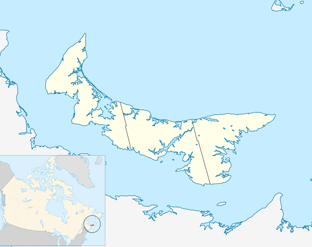 Location of Stratford in Prince Edward Island | |||
| Coordinates: 46°13′00″N 63°05′22″W / 46.21667°N 63.08944°W | |||
| Country | Canada | ||
| Province | Prince Edward Island | ||
| County | Queens County | ||
| Parish | Bedford | ||
| Lot | Lot 48 | ||
| Settled | 1750's | ||
| Incorporated | April 1, 1995 | ||
| Government | |||
| • Mayor | David Dunphy | ||
| • Councillors |
Gail MacDonald Keith MacLean Steve Ogden Diane Griffin Gary Clow Randy Cooper | ||
| • CAO | Robert Hughes | ||
| Area | |||
| • Land | 22.48 km2 (8.68 sq mi) | ||
| Population (2011) | |||
| • Total | 8,574 | ||
| • Density | 315.1/km2 (816/sq mi) | ||
| • Change (2006-11) |
| ||
| • Dwellings | 2,898 | ||
| NTS Map | 011L03 | ||
| GNBC Code | BAEWW | ||
| Website | www.townofstratford.ca | ||

Stratford (2011 pop.: 8,574) is a Canadian suburban town located in central Prince Edward Island. It is currently the province's third-largest community based on population and is experiencing some population growth as a direct result of an improved highway bridge over the Hillsborough River, connecting the town with Charlottetown.
Amalgamation
Stratford was created under the Charlottetown Area Municipalities Act, effective 1 April 1995. This resulted in several rural villages and communities on the east bank of the Hillsborough River being amalgamated into a new town, including Southport, Bunbury, Keppoch, Rosebank, Kinlock, and Crossroads.
The town's naming was controversial as municipal leaders opted to choose a name that had no historic connection to the predecessor constituent communities. It is derived from the Stratford Road, a 4 km suburban road connecting Bunbury via Southport with Cross Roads.
Local observers have noted with humour that unlike communities with a similar name such as Stratford, Ontario or Stratford, Australia which are named after Stratford-upon-Avon and are situated upon rivers that derive their name from the River Avon, the town of Stratford, Prince Edward Island should be named "Stratford-upon-Hillsborough".
Geography
It is situated on a peninsula formed by the Hillsborough River estuary, Charlottetown Harbour, and Hillsborough Bay - a sub-basin of the Northumberland Strait.
Stratford is located in the township of Lot 48, Prince Edward Island in Queens County and is a bedroom suburb of the provincial capital Charlottetown.
History
Stratford's constituent communities each have had slightly different development patterns. The shoreline of the Hillsborough River in Southport was historically a cottage area for city residents, with cottage development proceeding to Keppoch during the post-war era. Cross Roads, Bunbury, Rosebank and Kinlock were historically agricultural communities.
The area's fortunes are tied to the evolution and development of transportation links with Charlottetown. During the 1800s, a small seasonal passenger ferry service operated between Ferry Point in Southport to a wharf on the Charlottetown waterfront. During the winter months, horse-drawn sleighs would operate directly across the river, if its waters were frozen.
In 1905, the Prince Edward Island Railway constructed the first Hillsborough River Bridge between Charlottetown and Southport, allowing for train travel to the eastern side of the river.
Horse-drawn carriages and sleighs (and later automobiles) were also permitted on the span when trains were not operating, although it was only 1-lane wide with wood planks placed between and on each side of the rails.
The railway bridge was replaced with a 2-lane highway bridge in 1962. Following completion of the new bridge, the communities comprising present-day Stratford began to experience a slow but steady growth, with permanent year-round dwellings and several subdivisions beginning to replace the seasonal cottages which fronted the Hillsborough River. By the 1980s, commuter and residential development patterns in PEI were changing and it became apparent that the traffic levels on the new 2-lane Hillsborough River Bridge were surpassing its designed capacity.
The 1962-era 2-lane bridge was expanded to a 4-lane bridge with new approach routes in 1995 as a sub-contract to the Northumberland Strait Crossing Project (the Confederation Bridge) with cost-sharing between the federal and provincial governments. The expanded Hillsborough River Bridge was completed in the mid-1990s at around the same time as municipal amalgamation took place.
The current town of Stratford is experiencing growth as a result of the improved highway connection to Charlottetown, where most residents work. The development now includes new subdivisions, a waterfront area, a highway commercial district, and several municipal buildings including a town hall and community centre.
Demographics
| Historical populations | ||
|---|---|---|
| Year | Pop. | ±% |
| 1991 | 5,427 | — |
| 1996 | 5,869 | +8.1% |
| 2001 | 6,314 | +7.6% |
| 2006 | 7,083 | +12.2% |
| 2011 | 8,574 | +21.1% |
| Canada 2006 Census | Population | % of Total Population | |
|---|---|---|---|
| Visible minority group Source: [1] | South Asian | 15 | 0.2 |
| Chinese | 0 | 0 | |
| Black | 45 | 0.6 | |
| Filipino | 0 | 0 | |
| Latin American | 45 | 0.6 | |
| Southeast Asian | 0 | 0 | |
| Other visible minority | 35 | 0.5 | |
| Total visible minority population | 140 | 2 | |
| Aboriginal group Source: [1] | First Nations | 10 | 0.1 |
| Métis | 10 | 0.1 | |
| Inuit | 10 | 0.1 | |
| Total Aboriginal population | 30 | 0.4 | |
| White | 6,910 | 97.6 | |
| Total population | 7,080 | 100 | |
References
- 1 2 "Pickering, Ontario (City) Census Subdivision". Community Profiles, Canada 2006 Census. Statistics Canada.
External links
| Subdivisions | |
|---|---|
| Cities | |
| Towns | |
| Incorporated communities |
|
| Unincorporated communities | |
| |
Coordinates: 46°12′59.99″N 63°5′21.59″W / 46.2166639°N 63.0893306°W