Suchá Hora
| Suchá Hora | |
| Village | |
 | |
| Country | Slovakia |
|---|---|
| Region | Žilina |
| District | Tvrdošín |
| Elevation | 790 m (2,592 ft) |
| Coordinates | SK 49°22′12″N 19°46′34″E / 49.37000°N 19.77611°ECoordinates: SK 49°22′12″N 19°46′34″E / 49.37000°N 19.77611°E |
| Area | 21.855 km2 (8.44 sq mi) |
| Population | 1,291 (2004-12-31) |
| Density | 59/km2 (153/sq mi) |
| First mentioned | 1566 |
| Postal code | 027 13 |
| Area code | +421-43 |
| Car plate | TS |
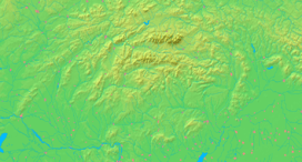  Location of Suchá Hora in Slovakia | |
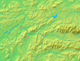  Location of Suchá Hora in the Žilina Region | |
| Statistics: MOŠ/MIS | |
| Website: www.suchahora.eu | |
Suchá Hora (Polish: Sucha Góra) is a village and municipality in Tvrdošín District in the Žilina Region of northern Slovakia.
History
In historical records the village was first mentioned in 1566.
Geography
The municipality lies at an altitude of 790 metres and covers an area of 21.855 km². It has a population of about 1,290 people.
Other locations
- 1228 metres high mountain near Banská Bystrica. Site of a FM- and TV-transmitter.
External links
Municipalities of Tvrdošín District | ||
|---|---|---|
This article is issued from Wikipedia - version of the 9/17/2013. The text is available under the Creative Commons Attribution/Share Alike but additional terms may apply for the media files.