Supay Punku
| Supay Punku | |
|---|---|
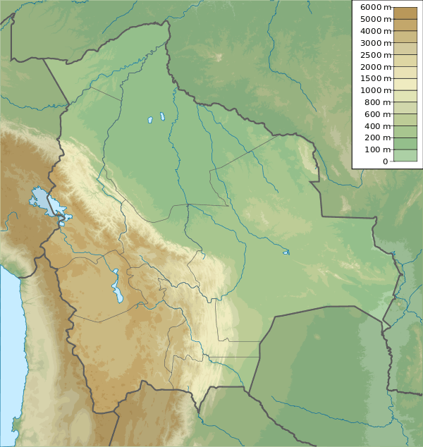 Supay Punku Location in Bolivia | |
| Highest point | |
| Elevation | 4,600 m (15,100 ft) |
| Coordinates | 14°53′07″S 68°55′35″W / 14.88528°S 68.92639°WCoordinates: 14°53′07″S 68°55′35″W / 14.88528°S 68.92639°W |
| Geography | |
| Location |
Bolivia, La Paz Department |
| Parent range | Andes |
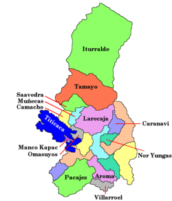
Supay Punku (Quechua supay devil, demon, punku door,[1] "devil door") or Supay P'unqu (Quechua p'unqu pond, dam,[1] "devil pond" or "devil dam") is a mountain east of the Apolobamba mountain range in Bolivia, about 4,600 metres (15,092 ft) high. It is situated in the La Paz Department, Bautista Saavedra Province, Curva Municipality, and in the Franz Tamayo Province, Pelechuco Municipality.[2]
References
This article is issued from Wikipedia - version of the 12/7/2015. The text is available under the Creative Commons Attribution/Share Alike but additional terms may apply for the media files.