Télégraphe (Paris Métro)
Télégraphe | |||||||||||
|---|---|---|---|---|---|---|---|---|---|---|---|
| Paris Métro station | |||||||||||
|
| |||||||||||
| Location |
19th arrondissement of Paris Île-de-France France | ||||||||||
| Coordinates | 48°52′32″N 2°23′54″E / 48.875463°N 2.398434°ECoordinates: 48°52′32″N 2°23′54″E / 48.875463°N 2.398434°E | ||||||||||
| Owned by | RATP | ||||||||||
| Operated by | RATP | ||||||||||
| Other information | |||||||||||
| Fare zone | 1 | ||||||||||
| History | |||||||||||
| Opened | 28 April 1935 | ||||||||||
| Services | |||||||||||
| |||||||||||
| Location | |||||||||||
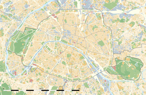 Télégraphe Location within Paris | |||||||||||

Télégraphe is a station on line 11 of the Paris Métro in the 19th and 20th arrondissements. The station's tracks are separated by a supporting wall, because it is built in soft ground.
The station opened as part of the original section of the line from Châtelet to Porte des Lilas on 28 April 1935. It is named after the Rue de Télégraphe, which was once a chemin de ronde (a raised protected walkway behind a battlement) of the park of the Château de Ménilmontant. Its name comes from the optical telegraph invented by Claude Chappe (1763–1805) in 1792. This was the first practical telecommunications system, but was eventually replaced by the electric telegraph. Chappe installed the relay station, containing the telegraph's apparatus which he called a tachygraphe, on this peak of 128 meters altitude.
Station layout
| G | Street Level | Exit/Entrance |
| B1 | Mezzanine | to Exits/Entrances |
| B2 | ||
| Southbound | ← | |
| Wall | ||
| Northbound | | |
Gallery
 Street-level entrance at Télégraphe
 Stairs to platforms at Télégraphe
 Line 11 platforms towards Mairie des Lilas
| Wikimedia Commons has media related to Télégraphe (Paris Metro). |
References
- Roland, Gérard (2003). Stations de métro. D’Abbesses à Wagram. Éditions Bonneton.
| Paris Métro | Line 11 | |
|---|---|---|
| ||