Təzəkənd, Kangarli
| Təzəkənd | |
|---|---|
| Municipality | |
 Təzəkənd | |
| Coordinates: 39°23′36″N 45°17′57″E / 39.39333°N 45.29917°ECoordinates: 39°23′36″N 45°17′57″E / 39.39333°N 45.29917°E | |
| Country |
|
| Autonomous republic | Nakhchivan |
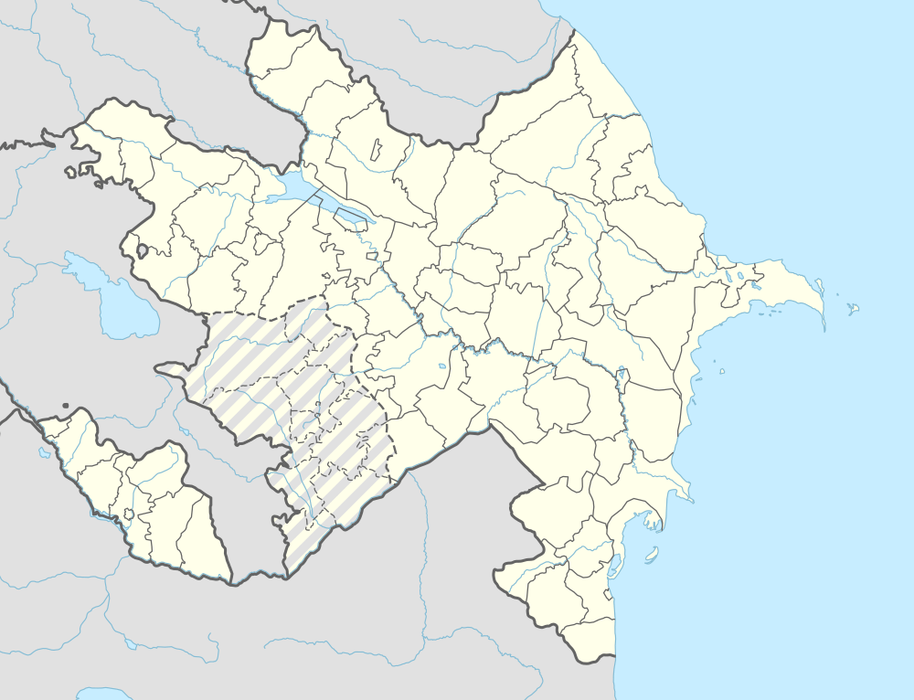
| District | Kangarli |
| Population (2005) | |
| • Total | 516 |
| Time zone | AZT (UTC+4) |
Təzəkənd (also, Tazakend) is a village and municipality in the Kangarli District of Nakhchivan Autonomous Republic, Azerbaijan. It is located in the left side of the Ordubad-Nakhchivan highway, 38 km in the north-west from the district center, on the slope of the Daralayaz ridge. Its population is busy with grain-growing and animal husbandry. There are secondary school, club and a medical center in the village. It has a population of 516. There are settlement and a necropolis of the end of the Bronze Age and early Iron Age (the 2-1 millennium of BC) near of the village.[1]
Etymology and History
The families who lived in the village of Çalxanqala (Chalkhangala) have been forced to move from massacre committed by Armenians in 1918 and settled in the current village area and because the village has been the new settled, it was named as Təzəkənd (New village).[1]
References
Capital: Qıvraq | ||
.svg.png) | ||