Taanah, Syria
| Taanah طعانة | |
|---|---|
| Village | |
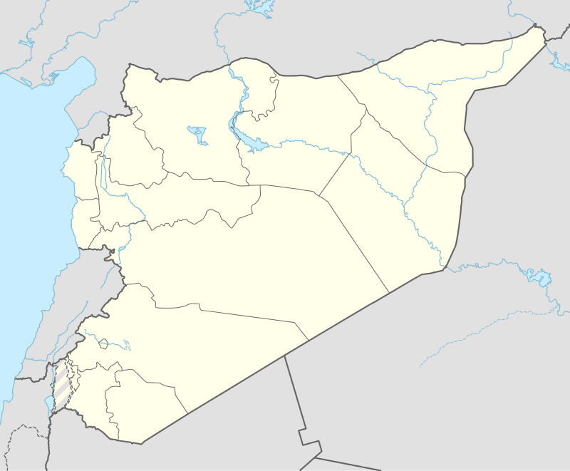 Taanah Location of Taanah in Syria | |
| Coordinates: 36°23′09″N 37°19′40″E / 36.3858°N 37.3278°ECoordinates: 36°23′09″N 37°19′40″E / 36.3858°N 37.3278°E | |
| Country |
|
| Governorate | Aleppo |
| District | Azaz |
| Subdistrict | Akhtarin |
| Elevation | 504 m (1,654 ft) |
| Population (2004)[1] | 1,062 |
| Time zone | EET (UTC+2) |
| • Summer (DST) | EEST (UTC+3) |
| Geocode | C1590 |
Taanah (Arabic: طعانة, translit. Ţa‘ānah), alternatively spelled Tana, is a village in northern Aleppo Governorate, northwestern Syria. Situated in the Aqil mountains, some 5 kilometres (3.1 mi) southeast of the Shahba reservoir, it is located about halfway between Akhtarin and the northern outskirts of the city of Aleppo.
Administratively the village belongs to Nahiya Akhtarin in Azaz District. Nearby localities include Ablah 6 km (3.7 mi) to the north and Fafin 6 km (3.7 mi) to the southwest. In the 2004 census, Taanah had a population of 1,062.[1]
References
- 1 2 "2004 Census Data for Nahiya Akhtarin" (in Arabic). Syrian Central Bureau of Statistics. Retrieved 15 October 2015. Also available in English: UN OCHA. "2004 Census Data". Humanitarian Data Exchange. Retrieved 4 December 2015.
Capital: Aleppo | ||||||||
|  | |||||||
|
| ||||||||
| ||||||||
| ||||||||
| ||||||||
| ||||||||
This article is issued from Wikipedia - version of the 9/10/2016. The text is available under the Creative Commons Attribution/Share Alike but additional terms may apply for the media files.