Taft, Louisiana
| Taft | |
| Census-designated place | |
| Country | United States |
|---|---|
| State | Louisiana |
| Parish | St. Charles |
| Elevation | 13 ft (4.0 m) |
| Coordinates | 29°59′29″N 90°26′53″W / 29.99139°N 90.44806°WCoordinates: 29°59′29″N 90°26′53″W / 29.99139°N 90.44806°W |
| Area | 2.0 sq mi (5.2 km2) |
| - land | 1.7 sq mi (4 km2) |
| - water | 0.3 sq mi (1 km2), 15% |
| Population | 0 (2000) |
| Density | 0/sq mi (0.0/km2) |
| Timezone | CST (UTC-6) |
| - summer (DST) | CDT (UTC-5) |
| Area code | 985 |
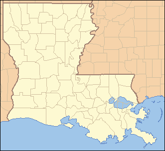 Location of Taft in Louisiana | |
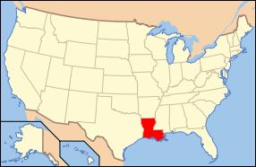 Location of Louisiana in the United States | |
Taft is a census-designated place (CDP) in St. Charles Parish, Louisiana, United States, on the west bank of the Mississippi River. According to the 2000 census, Taft had a total population of zero.
History
This place is the location of a phosphate mining facility owned by IMC-Agrico, the Union Carbide Taft/Star Petrochemical Plant, which produces a variety of organic chemicals such as acrolein, Acrylic acid, and acetaldehyde, and part of the Waterford Nuclear Generating Station owned by Entergy Corporation.
Taft was the original site of Our Lady of the Holy Rosary Catholic Church, which served Taft, Killona, and Hahnville. The church was built in 1877, and in 1963, it moved to Hahnville. The cemetery is still in Taft and is still used as a burial ground by the church.
Geography
According to the United States Census Bureau, the CDP has a total area of 2.0 square miles (5.2 km2), of which, 1.7 square miles (4.4 km2) of it is land and 0.3 square miles (0.78 km2) of it is water. The total area is 15.69% water. The CDP is located on the Mississippi River.
Demographics
As of the census[1] of 2000, there were no people living in the CDP.
See also
References
- ↑ "American FactFinder". United States Census Bureau. Retrieved 2008-01-31.
External links
Municipalities and communities of St. Charles Parish, Louisiana, United States | ||
|---|---|---|
| CDPs | 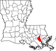 | |
| Other Unincorporated communities | ||
| Footnotes | ‡This populated place also has portions in an adjacent parish or parishes | |