Taupo Airport
| Taupo Airport Te Papa Waka Rererangi o Taupō | |||||||||||||||
|---|---|---|---|---|---|---|---|---|---|---|---|---|---|---|---|
| IATA: TUO – ICAO: NZAP | |||||||||||||||
| Summary | |||||||||||||||
| Airport type | Public | ||||||||||||||
| Operator | Taupo Airport Authority | ||||||||||||||
| Location | Taupo | ||||||||||||||
| Elevation AMSL | 1,335 ft / 407 m | ||||||||||||||
| Coordinates | 38°44′23″S 176°05′04″E / 38.73972°S 176.08444°E | ||||||||||||||
| Website | http://taupoairport.co.nz/ | ||||||||||||||
| Map | |||||||||||||||
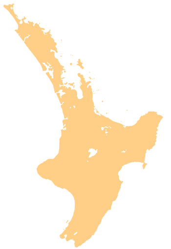
 TUO Location of airport in North Island | |||||||||||||||
| Runways | |||||||||||||||
| |||||||||||||||
Taupo Airport (Māori: Te Papa Waka Rererangi o Taupō, (IATA: TUO, ICAO: NZAP)) is a small airport 8 km (5.0 mi) to the south of Taupo township on the eastern shores of Lake Taupo, New Zealand.
Scheduled flights are operated by Air New Zealand Link, using Bombardier DHC-8-Q300 from Auckland, Sounds Air also operate from Wellington using Pilatus PC-12. Due to its close proximity to world-renowned trout fishing, golf, hunting, skiing and luxury resorts, the Airport is becoming an increasingly popular destination for private jets.
A number of small charter and training operations are also based here along with maintenance providers and a large search and rescue facility. In addition there are two commercial tandem skydiving operators making Taupo Airport the busiest drop zone in New Zealand.
Airlines and destinations
| Airlines | Destinations |
|---|---|
| Air New Zealand Link operated by Air Nelson | Auckland |
| Sounds Air | Wellington [1] |
Operational information
- Airfield elevation 1335 ft AMSL
- Runway 17/35, 1386 x 30 metres sealed
- Runway 11/29, 731 x 60 metres grass
- Runway lighting available
- Pavement strength PCN 26 is advisory only
- Traffic circuit: RWY 11/17 — right hand RWY 29/35 — left hand
- Circuit height: 2300 ft AMSL
- RWY 11 is not available for takeoff
- Grass parallel to Rwy 17/35 closed take-off and landing
Taupo Airport is located within a Mandatory Broadcast Zone (MBZ) in uncontrolled (G) airspace with type C airspace starting at 6500 ft AMSL and controlled by Christchurch Control. Taupo Airport is the second-busiest non-towered airport in New Zealand.
Operators
- Clark & Jolly Helicopters
- Helicopter Services (BOP)
- Heli Harvest
- Helispecs
- Helipro
- Philips Search and Rescue Trust
- Rotor and Wing Maintenance
- Taupo Air Services
- Taupo Tandem Skydiving
- Skydive Taupo
- Super Air
See also
References
External links
Sources
NZAIP Volume 4 AD