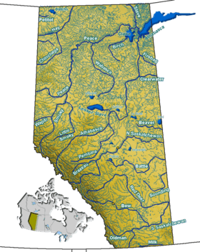
Thunder Lake (Alberta)
| Thunder Lake | |
|---|---|
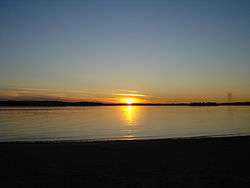 Sunset at Thunder Lake | |
| Location | County of Barrhead No. 11, Alberta |
| Coordinates | 54°07′37″N 114°45′30″W / 54.12694°N 114.75833°WCoordinates: 54°07′37″N 114°45′30″W / 54.12694°N 114.75833°W |
| Basin countries | Canada |
| Max. length | 2.8 km (1.7 mi) |
| Max. width | 5.4 km (3.4 mi) |
| Surface area | 7.03 km2 (2.71 sq mi) |
| Average depth | 3.0 m (9.8 ft) |
| Max. depth | 6.1 m (20 ft) |
| Surface elevation | 656 m (2,152 ft) |
Thunder Lake is a lake in Alberta, Canada. It is located in northern Alberta, 25 kilometres (16 mi) west of Barrhead, immediately south of Tiger Lily, at an elevation of 656 m (2,152 ft).
It reaches a maximum depth of 6.1 m (20 ft), and is on average 3.0 m (9.8 ft) deep.[1]
Thunder Lake Provincial Park is established on the north-eastern shore of the lake.
See also
References
- ↑ University of Alberta. Atlas of Alberta lakes - Thunder Lake
This article is issued from Wikipedia - version of the 8/5/2014. The text is available under the Creative Commons Attribution/Share Alike but additional terms may apply for the media files.