Tsiteli Khati
| Tsiteli Khati | |
|---|---|
 Tsiteli Khati | |
| Highest point | |
| Elevation | 3,026 m (9,928 ft) |
| Coordinates | 42°24′53″N 44°20′37″E / 42.41472°N 44.34361°ECoordinates: 42°24′53″N 44°20′37″E / 42.41472°N 44.34361°E |
| Geography | |
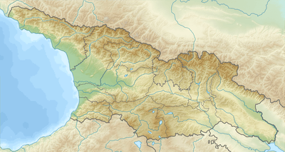
| Location | Georgia |
| Parent range | Kharuli |
Tsiteli Khati (Georgian: წითელი ხატი) is a summit of the Kharuli Range in Northern Georgia. The elevation of the peak is 3,026 metres (9,928 ft) above sea level. The mountain is located within the Kheli Volcanic Region of Georgia, an area which is the largest source of volcanism on the southern slopes of the Greater Caucasus Mountain Range within Georgia's boundaries. Tsiteli Khati is built up of holocene age andesites and dacitic lavas. The peak itself is a young volcanic cone with slopes that show no signs of any significant erosion. The vegetation of the mountain consists of subalpine and alpine meadows.
References
- Georgian State (Soviet) Encyclopedia. 1987. Book 11. p. 319.
This article is issued from Wikipedia - version of the 8/9/2015. The text is available under the Creative Commons Attribution/Share Alike but additional terms may apply for the media files.