Tweedsmuir South Provincial Park
| Tweedsmuir South Provincial Park | |
|---|---|
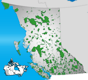 Location of Tweedsmuir South in British Columbia | |
| Location | British Columbia, Canada |
| Nearest city | Prince George |
| Coordinates | 52°31′16″N 125°54′49″W / 52.52099°N 125.91373°WCoordinates: 52°31′16″N 125°54′49″W / 52.52099°N 125.91373°W |
| Governing body | BC Parks |
Tweedsmuir South Provincial Park is a provincial park in British Columbia, Canada. Formerly part of Tweedsmuir Provincial Park it was formed from the southern portion of that park, the northern portion being re-designated Tweedsmuir North Provincial Park and Protected Area in order to allow resource extraction in the park.
The Alexander MacKenzie Heritage Trail passes through this park, via Heckman Pass and Burnt Bridge Creek. Other trails in the park are numerous, and access Hunlen Falls(259m), one of the highest waterfalls in Canada, and also Lonesome Lake, famed for homesteader and conservationist Ralph Edwards, who worked to preserve migration habitat there for the trumpeter swan. This park was where the Mountain Pine Beetle epidemic in British Columbia began.
Name origin
The park, or rather the original Tweedsmuir Provincial Park which included what is now Tweedsmuir North Provincial Park and Protected Area, was created in 1938 in the wake of a 1937 visit by floatplane and horseback to the Rainbow Range by John Buchan, Lord Tweedsmuir, who was then Governor-General of Canada.[1]
An article about the creation of the park, written by John Buchan's wife, The Lady Tweedsmuir of Elsfield, appears in the April 1938 issue of The National Geographic Magazine.