Wistaria Provincial Park
| Wistaria Provincial Park | |
|---|---|
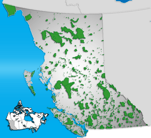 Location of Wistaria Provincial Park in British Columbia | |
| Location | British Columbia, Canada |
| Nearest city | Burns Lake |
| Coordinates | 53°51′28″N 126°19′11″W / 53.85778°N 126.31972°WCoordinates: 53°51′28″N 126°19′11″W / 53.85778°N 126.31972°W |
| Area | 40 hectares |
| Established | 1981 |
| Governing body | BC Parks |
Wistaria Provincial Park is a provincial park in the Canadian province of British Columbia, located 60km southwest of Burns Lake and approximately 80km southeast of Houston.
Recreation
The 40-hectare park provides boating and fishing access to Ootsa Lake. There is also a picnic area.
External links
This article is issued from Wikipedia - version of the 11/18/2016. The text is available under the Creative Commons Attribution/Share Alike but additional terms may apply for the media files.