Vígľašská Huta-Kalinka
| Vígľašská Huta-Kalinka | |
| Municipality | |
| Country | Slovakia |
|---|---|
| Region | Banská Bystrica |
| District | Detva |
| Elevation | 559 m (1,834 ft) |
| Coordinates | SK 48°29′N 19°16′E / 48.483°N 19.267°ECoordinates: SK 48°29′N 19°16′E / 48.483°N 19.267°E |
| Area | 16.19738 km2 (6.25 sq mi) |
| Population | 365 (2010-12-31) |
| Density | 23/km2 (60/sq mi) |
| First mentioned | 1773 |
| Postal code | 962 25 |
| Area code | +421-45 |
| Car plate | DT |
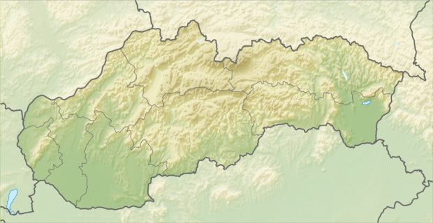 Location of Vígľašská Huta-Kalinka in Slovakia | |
| Statistics: | |
Vígľašská Huta-Kalinka is a village and municipality in Detva District, in the Banská Bystrica Region of central Slovakia.[1]
References
- ↑ "Tab. 1 Obyvateľstvo trvalo bývajúce v obciach SR podľa veku a pohlavia, SODB 2011" (PDF). Statistical Office of the Slovak Republic. Archived from the original (PDF) on October 12, 2013. Retrieved 2012-08-20.
External links
Municipalities of Detva District | ||
|---|---|---|
This article is issued from Wikipedia - version of the 7/2/2016. The text is available under the Creative Commons Attribution/Share Alike but additional terms may apply for the media files.