Varín
| Varín | ||
| Village | ||
|
||
| Country | Slovakia | |
|---|---|---|
| Region | Žilina | |
| District | Žilina | |
| Elevation | 363 m (1,191 ft) | |
| Coordinates | SK 49°12′N 18°53′E / 49.200°N 18.883°ECoordinates: SK 49°12′N 18°53′E / 49.200°N 18.883°E | |
| Area | 56.7 km2 (21.9 sq mi) | |
| Population | 3,474 (2004-12-31) | |
| Density | 61/km2 (158/sq mi) | |
| First mentioned | 1235 | |
| Postal code | 013 03 | |
| Area code | +421-41 | |
| Car plate | ZA | |
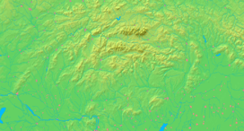  Location of Varín in Slovakia | ||
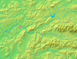  Location of Varín in the Žilina Region | ||
| Statistics: MOŠ/MIS | ||
| Website: www.varin.sk | ||

Varín is a village and municipality in Žilina District in the Žilina Region of northern Slovakia. It is located at the Malá Fatra National Park and also serves as a tourist resort.
Etymology
The name is derived from Proto-Slavic varъ (Slovak: var, "boiling"). The original name was a hydronym referring to foamed water.[1]
History
In historical records the village was first mentioned in 1235. In the middle of the 13th century as terra Warna it was property of the Cseszneky de Milvány family.[2]
Geography
The municipality lies at an altitude of 362 metres and covers an area of 19.092 km². It has a population of about 3,674 people.
Notable natives and residents
- Pavol Gábor, opera singer
References
- ↑ Krško, Jaromír (2009). "Praslovanské apelatíva ako motivanty hydroným povodia Váhu" [Old Slavonic appellatives as Motivating Words for Hydronyms of the Váh River Basic] (PDF). Slavica Slovaca (in Slovak) (1): 16.
- ↑ Monumenta Hungariae historica
External links
This article is issued from Wikipedia - version of the 11/6/2016. The text is available under the Creative Commons Attribution/Share Alike but additional terms may apply for the media files.