Varbitsa (town)
| Varbitsa Върбица | ||
|---|---|---|
 | ||
| ||
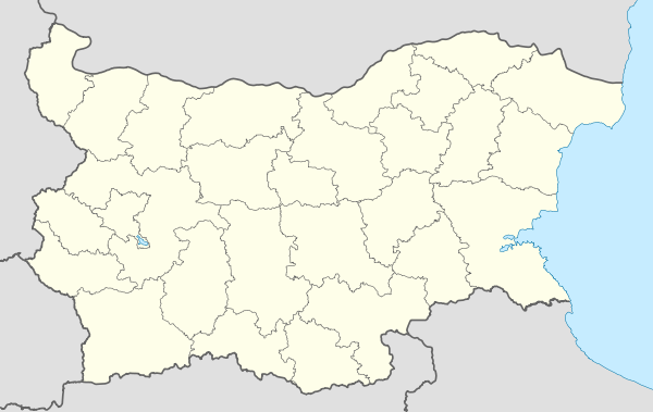 Varbitsa Location of Varbitsa | ||
| Coordinates: 42°59′42″N 26°40′23″E / 42.99500°N 26.67306°ECoordinates: 42°59′42″N 26°40′23″E / 42.99500°N 26.67306°E | ||
| Country | Bulgaria | |
| Provinces (Oblast) | Shumen | |
| Government | ||
| • Mayor | Ismail Mehmed | |
| Elevation | 430 m (1,410 ft) | |
| Population (December 2009)[1] | ||
| • Total | 3,585 | |
| Time zone | EET (UTC+2) | |
| • Summer (DST) | EEST (UTC+3) | |
| Postal Code | 9870 | |
| Area code(s) | 05391 | |

Varbitsa (Bulgarian: Върбица [vərbit͡sə]; "little willow", from varba, "willow"; also transliterated Vǎrbica) is a town in eastern Bulgaria, part of Shumen Province. It is the administrative centre of Varbitsa Municipality, which lies in the southwestern part of Shumen Province. As of December 2009, the town has a population of 3,585 inhabitants.[1]
Varbitsa is located in the southeastern Danubian Plain, at the foot of the eastern Balkan Mountains, on both banks of the Gerila river. The area was populated in Antiquity by the Thracians and Romans, while the Slavs and Bulgars arrived in the Early Middle Ages. It is thought that the first ruler of the First Bulgarian Empire, Asparuh, settled the Severians in the region of the Varbitsa Pass in order to guard it in the 7th century. The pass was the site of the Battle of Pliska on 26 July 811, during which Krum of Bulgaria's forces routed the Byzantine army, killing and beheading Byzantine Emperor Nikephoros I.
Municipality
Varbitsa municipality includes the following 16 places:
|
|
References
External links
| Wikimedia Commons has media related to Varbitsa (town). |
- Varbitsa municipality website (Bulgarian)