Varney's Falls Dam
|
Varney's Falls Dam | |
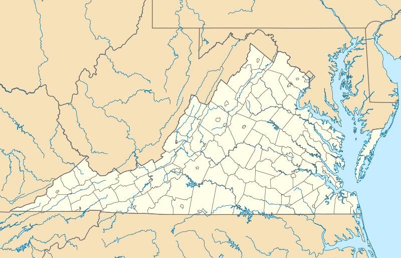  | |
| Location | 1 mi. E of jct. of VA 608 and VA 609 on the James River, near Gilmore Mills, Virginia |
|---|---|
| Coordinates | 37°34′52″N 79°35′50″W / 37.58111°N 79.59722°WCoordinates: 37°34′52″N 79°35′50″W / 37.58111°N 79.59722°W |
| Area | 61 acres (25 ha) |
| Built | 1851 |
| Built by | Scott, Charles |
| Architectural style | Stone lock |
| NRHP Reference # | 93001127[1] |
| VLR # | 011-0068 |
| Significant dates | |
| Added to NRHP | October 14, 1993 |
| Designated VLR | August 18, 1993[2] |
Varney's Falls Dam is a historic lock and dam structure located on the James River near Gilmore Mills, Botetourt County, Virginia. It was built in 1851, and is a massive limestone structure. The lock chamber measures 100 feet long between gate recesses, 15 feet wide, and approximately 21 feet from the top on the upriver end to ground level. Associated with the lock are the lock and dam abutment structures, the remaining towpaths, canal bed, berm bank, towpath culvert and remnants of a towpath bridge. The dam was destroyed in 1881, and the lock gates removed in 1885.[3]
It was listed on the National Register of Historic Places in 1993. It is part of the James River and Kanawha Canal Historic District.[1]
References
- 1 2 National Park Service (2010-07-09). "National Register Information System". National Register of Historic Places. National Park Service.
- ↑ "Virginia Landmarks Register". Virginia Department of Historic Resources. Retrieved 2013-05-12.
- ↑ Dianne Pearce (n.d.). "National Register of Historic Places Inventory/Nomination: Varney's Falls Dam" (PDF). Virginia Department of Historic Resources. and Accompanying photo

This article is issued from Wikipedia - version of the 11/30/2016. The text is available under the Creative Commons Attribution/Share Alike but additional terms may apply for the media files.