Vatnafjöll
| Vatnafjöll | |
|---|---|
 Vatnafjöll | |
| Highest point | |
| Elevation | 1,235 m (4,052 ft) |
| Coordinates | 63°55′12″N 19°40′12″W / 63.92000°N 19.67000°WCoordinates: 63°55′12″N 19°40′12″W / 63.92000°N 19.67000°W |
| Geography | |
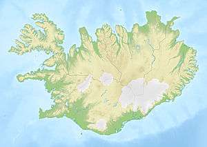
| Location | Iceland |
| Geology | |
| Age of rock | Tephrochronology |
| Mountain type | Fissure vents of Hekla |
| Last eruption | 1200 years ago |
Vatnafjöll is a 40 km (25 mi) long, 9 km (6 mi) wide basaltic fissure vent system that is located southeast of Hekla, Iceland. It is part of the same system as Hekla.[1] More than two dozen eruptions have occurred at Vatnafjöll during the Holocene Epoch. Vatnafjöll last erupted about 1200 years ago.
See also
References
This article is issued from Wikipedia - version of the 5/27/2015. The text is available under the Creative Commons Attribution/Share Alike but additional terms may apply for the media files.