Velbastaður
| Velbastaður | |
|---|---|
| Village | |
|
Velbastaður. At left the island Koltur | |
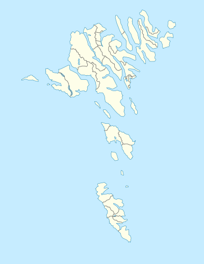 Velbastaður Location in the Faroe Islands | |
| Coordinates: 61°59′5″N 6°51′2″W / 61.98472°N 6.85056°WCoordinates: 61°59′5″N 6°51′2″W / 61.98472°N 6.85056°W | |
| State |
|
| Constituent country |
|
| Island | Streymoy |
| Municipality | Tórshavn Municipality |
| Population (1 January 2015) | |
| • Total | 220 |
| Time zone | GMT |
| • Summer (DST) | EST (UTC+1) |
| Postal code | FO 176 |
| Climate | Cfc |
.jpg)
Velbastaður (Danish: Velbestad) is a village on the island of Streymoy in the Faroe Islands, and is considered among the oldest settlements in the islands.[1] It is a part of Tórshavn Municipality.[1]
Geography
Velbastaður is on Streymoy’s west coast in the south of the island, about five kilometres from Kirkjubøur. It has a beautiful view across the strait Hestsfjørður towards the islands of Hestur and Koltur. With Vágar and Mykines to the west and Sandoy to the south.
History
Archaeological finds have unearthed artifacts possible dating as far back as the viking age, but most locations used in those times have washed into the sea now.
The village was deserted for some time after the Black Death in 1349.
The population of the village has increased in recent years from 134 in 1990, to 220 in 2015,[2] mainly due to its close proximity to the capital Tórshavn, while still preserving the feeling of living in the countryside.
Name origin
Velbastaður is unique in the Faroes, as it is the only settlement with the ending -staður, meaning limited-place or location.
The name is by many considered the same as the old Norse, Vébólstaðr, "The farm with a ve". A Vé (Old Norse) is a type of shrine or sacred enclosure. Locations with similar prefixes of Ve- and histories of sacred locations, can be found several places in Norway, such as Vebbestad in Kvæstad, Troms or Veibust, in Sula, Møre og Romsdal.[3]
The location of Kirkjubø, only 5 km to the south east on the same coast, supports the notion that there was a heathen shrine at Velbastað, as the early Christian church would often locate their headquarters as close as possible to sacred heathen locations, making it easier to subdue and convert the most hardcore supporters of the old faiths.
Velbastaður is located nearly in the center of the archipelago, and close to the old thing in Tórshavn across the mountain, which also again supports the idea that there has been a shrine at Velbastaður. Tórshavn, the harbor of Thor the Norse god of thunder, is a good natural harbor, and would be a good place for travelers to land their ships and boats, and complete the travel overland, if conditions on the southwestern coast were disagreeable.[3]
Gallery
.jpg)
.JPG)
Facilities
There are two schools and one kinder-garden in the village, with kids coming from the neighboring village of Kirkjubø and the capital Tórshavn as well.
See also
References
- 1 2 "Velbastaður" (in Faroese). Municipality of Tórshavn. Retrieved 15 November 2015.
- ↑ "Fólkatal | Hagstova Føroya". www.hagstova.fo. Retrieved 2015-10-05.
- 1 2 Ljunggren, Karl Gustav (1955-01-01). "Kirkjubøur, Velbastaður og Tórshavn". Fróðskaparrit 1955.
- Jón Fossá. "Velbastaður". Faroeislands.dk All villages on the Faroe Islands. Retrieved 2006-07-15.
- Swaney, Deanna (June 1999) [1991]. Iceland, Greenland & the Faroe Islands (3rd ed.). Lonely Planet Publications. ISBN 0-86442-453-1.
External links
| Wikimedia Commons has media related to Velbastaður. |
- Village description in faoeislands.dk