Waitaria Bay
| Waitaria Bay | |
|---|---|
 Waitaria Bay | |
| Coordinates: 41°9′26″S 174°2′54″E / 41.15722°S 174.04833°ECoordinates: 41°9′26″S 174°2′54″E / 41.15722°S 174.04833°E | |
| Country | New Zealand |
| Region | Marlborough |
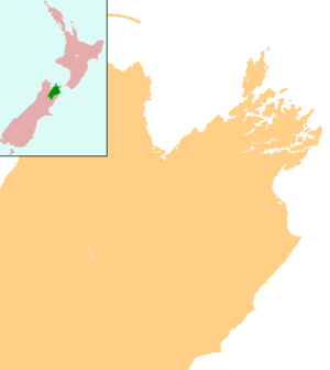
Waitaria Bay is a locality in the Marlborough region of New Zealand. It lies on the northern side of Kenepuru Sound in the Marlborough Sounds.[1][2]
The town is one of the most isolated in the South Island to have a school. The nearest shop is about 50 minutes drive, the nearest small town, Havelock, is two hours drive, and the nearest main centre, Blenheim, is two and a half hours drive.[3][4]
Education
Waitaria Bay School is a coeducational full primary (years 1-8) school with a decile rating of 10 and a roll of 20.[5] The school opened in 1897.[6]
Notes
- ↑ Peter Dowling (editor) (2004). Reed New Zealand Atlas. Reed Books. pp. map 61. ISBN 0-7900-0952-8.
- ↑ Roger Smith, GeographX (2005). The Geographic Atlas of New Zealand. Robbie Burton. pp. map 133. ISBN 1-877333-20-4.
- ↑ "Welcome". Waitaria Bay School.
- ↑ "Sounds parents to pay teacher's salary". The Marlborough Express. 22 May 2008. Archived from the original on 2008-05-27.
- ↑ "Te Kete Ipurangi - Waitaria Bay School". Ministry of Education.
- ↑ "About Us". Waitaria Bay School.
This article is issued from Wikipedia - version of the 9/16/2016. The text is available under the Creative Commons Attribution/Share Alike but additional terms may apply for the media files.