Wamba, Nigeria
| Wamba | |
|---|---|
| LGA and town | |
 Wamba Location in Nigeria | |
| Coordinates: 8°56′0″N 8°36′0″E / 8.93333°N 8.60000°ECoordinates: 8°56′0″N 8°36′0″E / 8.93333°N 8.60000°E | |
| Country |
|
| State | Nasarawa State |
| Headquarters | Wamba |
| Time zone | WAT (UTC+1) |
Wamba is a Local Government Area in Nasarawa State, Nigeria. Its headquarters are in the town of Wamba.
It has an area of 1,156 km² and a population of 72,894 at the 2006 census.
Attractions
Wamba town is located close to the beautiful Farin Ruwa Falls.One of the highest waterfalls in Africa.The source of the waterfalls is the Jos plateau.[1]
Postal Code
The postal code of the area is 960.[2]
References
- ↑ http://www.nasarawastatetourism.com/tourism/farin_ruwa.html
- ↑ "Post Offices- with map of LGA". NIPOST. Retrieved 2009-10-20.
State capital: Lafia | ||
| LGAs | 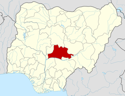 | |
This article is issued from Wikipedia - version of the 8/27/2015. The text is available under the Creative Commons Attribution/Share Alike but additional terms may apply for the media files.