Whitcastles stone circle
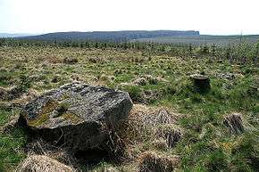 Whitcastles Stone Circle situated among the tree stumps of a felled Sitka plantation | |
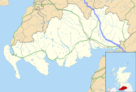 Shown within Dumfries and Galloway | |
| Location | Dumfriesshire |
|---|---|
| Coordinates | 55°10′51″N 3°13′12″W / 55.180763°N 3.220039°W |
| Type | Stone circle |
| History | |
| Periods | Bronze Age |
Whitcastles or Little Hartfell (grid reference NY 2240 8806) is a stone circle 6½ miles NE of Lockerbie, Dumfries and Galloway. Nine fallen stones lie in an oval measuring 55m by 45m.[1] The largest stones lie to the north and south of the circle; interest in cardinal points is a common feature in the stone circles of the Solway Firth.[1]
See also
References
- 1 2 Burl, Aubrey (2005). A Guide to the Stone Circles of Britain, Ireland and Brittany. New Haven; London: Yale University Press. p. 124.
This article is issued from Wikipedia - version of the 8/15/2015. The text is available under the Creative Commons Attribution/Share Alike but additional terms may apply for the media files.