Winagami Lake
| Winagami Lake | |
|---|---|
| Location | Big Lakes County / Smoky River No. 130, Alberta |
| Coordinates | 55°38′44″N 116°46′12″W / 55.64556°N 116.77000°WCoordinates: 55°38′44″N 116°46′12″W / 55.64556°N 116.77000°W |
| Type | Hyper-eutrophic |
| Primary outflows | South Heart River |
| Catchment area | 221 km2 (85 sq mi) |
| Basin countries | Canada |
| Max. length | 14 km (8.7 mi) |
| Max. width | 6 km (3.7 mi) |
| Average depth | 1.7 m (5 ft 7 in) |
| Max. depth | 4.7 m (15 ft) |
| Surface elevation | 621 m (2,037 ft) |
| Settlements | Kathleeen |
| References | [1] |
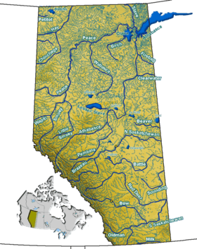
Winagami Lake (/wᵻˈnɑːɡəmi/) is a large and shallow lake in northern Alberta, Canada. It is located in Big Lakes County and Municipal District of Smoky River No. 130, northeast of the junction of Highway 2 and Highway 679. It lies in the hydrographic basin of the Athabasca River.
The lake contains lake whitefish, yellow perch, northern pike and walleye.
The lake is controlled by means of a weir, and has a mean depth of 1.7 metres (5.6 ft), with a maximum depth of 4.7 metres (15 ft).[1]
Winagami Lake Provincial Park is located on the western, southern and eastern shores of the lake.
See also
References
- 1 2 University of Alberta (2005). "Atlas of Alberta Lakes - Winigami". Retrieved 2008-10-12.
This article is issued from Wikipedia - version of the 10/26/2016. The text is available under the Creative Commons Attribution/Share Alike but additional terms may apply for the media files.