Zhoř u Tábora
| Zhoř u Tábora | |
|---|---|
| Municipality | |
 | |
 Zhoř u Tábora | |
| Coordinates: 49°21′30″N 14°39′24″E / 49.35833°N 14.65667°ECoordinates: 49°21′30″N 14°39′24″E / 49.35833°N 14.65667°E | |
| Country |
|
| Region | South Bohemian |
| District | Tábor |
| Area | |
| • Total | 4.62 km2 (1.78 sq mi) |
| Elevation | 445 m (1,460 ft) |
| Population (2006) | |
| • Total | 171 |
| • Density | 37/km2 (96/sq mi) |
| Postal code | 391 11 |
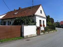
Zhoř u Tábora is a village and municipality (obec) in Tábor District in the South Bohemian Region of the Czech Republic.
The municipality covers an area of 4.62 square kilometres (1.78 sq mi), and has a population of 171 (as at 3 July 2006).
Zhoř u Tábora lies approximately 7 kilometres (4 mi) south of Tábor, 45 km (28 mi) north of České Budějovice, and 83 km (52 mi) south of Prague.
References
| Wikimedia Commons has media related to Zhoř u Tábora. |
This article is issued from Wikipedia - version of the 9/12/2016. The text is available under the Creative Commons Attribution/Share Alike but additional terms may apply for the media files.