Zlatá Baňa
| Zlatá Baňa | |
| Village | |
 | |
| Country | Slovakia |
|---|---|
| Region | Prešov |
| District | Prešov |
| Coordinates | 48°57′N 21°26′E / 48.950°N 21.433°ECoordinates: 48°57′N 21°26′E / 48.950°N 21.433°E |
| Area | 31.73 km2 (12.25 sq mi) |
| Population | 416 (31 December 2004) |
| Density | 13/km2 (34/sq mi) |
| First mentioned | 1550 |
| Postal code | 082 52 |
| Area code | +421-51 |
| Car plate | PO |
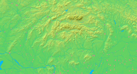  Location of Zlatá Baňa in Slovakia | |
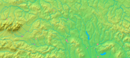  Location of Zlatá Baňa in the Prešov Region | |
| Wikimedia Commons: Zlatá Baňa | |
| Statistics: MOŠ/MIS | |
| Website: www.zlatabana.sk | |
Zlatá Baňa (Hungarian: Aranybánya) is a village and municipality in Prešov District in the Prešov Region of eastern Slovakia.
Name
The name of the village means literally the "Gold Mine".
History
In historical records the village was first mentioned in 1550.
Geography
The municipality lies at an altitude of 590 metres and covers an area of 31.732 km². It has a population of about 412.
External links
This article is issued from Wikipedia - version of the 9/17/2013. The text is available under the Creative Commons Attribution/Share Alike but additional terms may apply for the media files.