Achada Lem
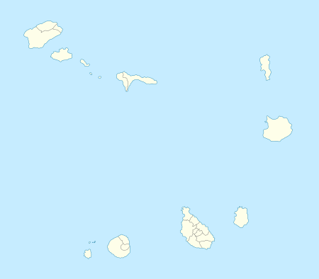
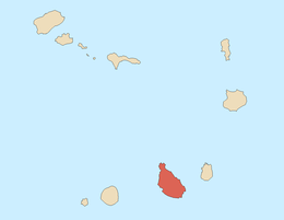
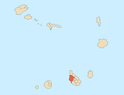
Achada Lem is a village and a plateau in the northcentral part of the island of Santiago, Cape Verde. Its 2010 population was 2,088 being the top 20 most populated places on the island and the municipality's third largest. It is situated 6 km north of Assomada and is about 7 km north on the Assomada-Tarrafal Road. The elevation is about 470 meters above sea level. Nearby settlements includes João Dias to the northeast and Mancholi (Mancholy) nearly a kilometer south on the main road.
North of the village is the source of Ribeira das Águas Podres, a river that flows down to the Atlantic at João Gago, a kilometer south of Ribeira da Barca with its own stream and nearly 200 meters to the east is Ribeira dos Flamengos where the first inhabitants of the area came from Flanders (now part of Belgium).
The area extends up to the Saquinho Dam and Reservoir which supplies water to the farmlands in other areas, the dam was completed on October 20, 2013.[2]
Agriculture dominates the area, the groves dominates a part of the area.
References
|
|---|
|
| Communities and settlements | | |
|---|
|
| Geographical features | |
|---|
|
| Landmarks and points of Interests | |
|---|
|
| Culture | |
|---|
|
|