Argali, Palpa
For the species of wild sheep, see Argali.
| Argali अर्गली गाविस | |
|---|---|
| Village development committee | |
|
Argali | |
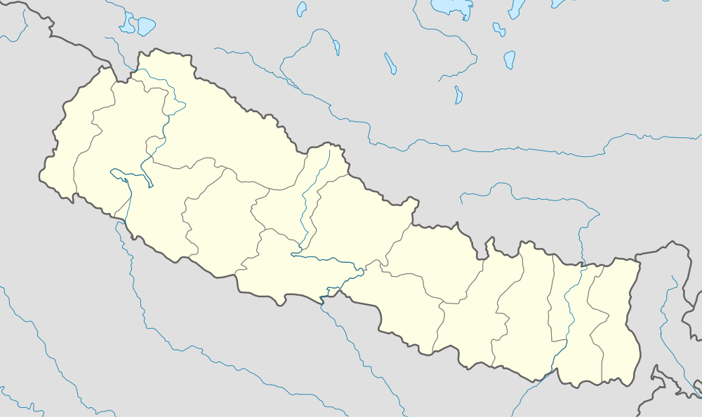 Argali Location in Nepal | |
| Coordinates: 27°55′N 83°28′E / 27.92°N 83.47°ECoordinates: 27°55′N 83°28′E / 27.92°N 83.47°E | |
| Country |
|
| Zone | Lumbini Zone |
| District | Palpa District |
| Population (1991) | |
| • Total | 2,729 |
| Time zone | Nepal Time (UTC+5:45) |

Argali is a village development committee in Palpa District in the Lumbini Zone of southern Nepal. At the time of the 1991 Nepal census it had a population of 2729 people living in 511 individual households.[1]
Argali is a plain area between the mountain where around more than 2000 people live. Khya village is in the west of argali and kalipar village in the west. Kaligandaki flows near the Argali. Historical Rana‘s palace is also there in Argali which have been turned to school now. Argali is a beautiful place where there is access of transportation, communication and electricity. The famous Rishikesh temple and Ridi Bazaar is only 5 km away from Argali.

Argali,Palpa

Siddababa Temple,Argali-Palpa
References
- ↑ "Nepal Census 2001". Nepal's Village Development Committees. Digital Himalaya. Archived from the original on 12 October 2008. Retrieved 12 December 2008.

This article is issued from Wikipedia - version of the 10/17/2016. The text is available under the Creative Commons Attribution/Share Alike but additional terms may apply for the media files.