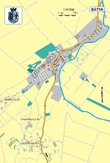
Bátya
| Bátya | |
|---|---|
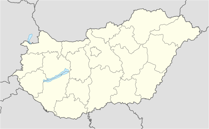 Bátya Location of Bátya | |
| Coordinates: 46°29′00″N 18°57′00″E / 46.4833°N 18.9500°ECoordinates: 46°29′00″N 18°57′00″E / 46.4833°N 18.9500°E | |
| Country |
|
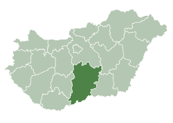
| County | Bács-Kiskun |
| Area | |
| • Total | 33.86 km2 (13.07 sq mi) |
| Population (2005) | |
| • Total | 2,239 |
| • Density | 66.12/km2 (171.3/sq mi) |
| Time zone | CET (UTC+1) |
| • Summer (DST) | CEST (UTC+2) |
| Postal code | 6351 |
| Area code(s) | 78 |
| Website | http://www.batya.hu (Hungarian) |
Bátya (Croatian: Baćin or Baćino) is village in Bács-Kiskun county, Hungary.
Tourism
Cultural sights
- Church
- World War II monument
- Holy Trinity
- Calvaria
Other structures
Southwest of Bátya, there is the tallest electricity pylon of Hungary ( height: 138 metres). It is part of Danube crossing from the 400 kV-line Paks - Sandorfalva.
Famous people
- Károly László (1815 - 1894), 1848-49 artilleryman.
- Teri Harangozó (1943 - 2015), singer.
Demographics
Existing ethnicities:
Croats from Bátya came to that area in 16th century from Croatian northeastern region of Slavonia. They speak Štokavian dialect of Croatian language, a Slavonian subdialect (Old-Shtokavian with non-reflected yat pronunciation). Similar dialectal features are seen today among population of Gradište near Županja and around Našice.
These Croats belong to special group of Danubian Croats: they call themselves as Raci. In literature they are also called racki Hrvati.[1]
Bátya Croats' feast is Veliko racko prelo.[2]
References
- ↑ (Hungarian) "Podravina.net" (PDF). (182 KB) Sanja Vulić: O govorima Hrvata u Mađarskoj
- ↑ (Croatian) Croatica.hu Prela, balovi i pokladne zabave u Bačkoj 2008.