Mélykút
| Mélykút | ||
|---|---|---|
| ||
 Mélykút | ||
| Coordinates: 46°07′30″N 19°13′29″E / 46.1250°N 19.2247°ECoordinates: 46°07′30″N 19°13′29″E / 46.1250°N 19.2247°E | ||
| Country |
| |
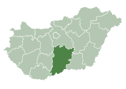
| County | Bács-Kiskun | |
| Area | ||
| • Total | 123.5 km2 (47.7 sq mi) | |
| Population (2005) | ||
| • Total | 5,775 | |
| • Density | 46.76/km2 (121.1/sq mi) | |
| Time zone | CET (UTC+1) | |
| • Summer (DST) | CEST (UTC+2) | |
| Postal code | 6449 | |
| Area code(s) | 77 | |
Mélykút (Croatian: Miljkut) is a town in Bács-Kiskun county, in the Southern Great Plain region of southern Hungary in Bacska [Page of Bacska]
Geography
It covers an area of 123.5 km2 (48 sq mi) and has a population of 5180 people (2007).
This article is issued from Wikipedia - version of the 2/4/2014. The text is available under the Creative Commons Attribution/Share Alike but additional terms may apply for the media files.