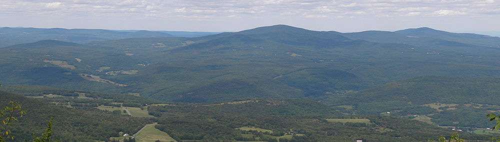
Bearpen Mountain
| Bearpen Mountain | |
|---|---|
| Highest point | |
| Elevation | 3619.6 ft (1103 m) [1] |
| Listing | Catskill High Peaks |
| Coordinates | 42°16′24″N 74°29′03″W / 42.2734189°N 74.4840396°WCoordinates: 42°16′24″N 74°29′03″W / 42.2734189°N 74.4840396°W [2] |
| Geography | |
| Location | Lexington / Roxbury, New York, U.S. |
| Parent range | Catskill Mountains |
| Topo map | USGS Prattsville |
Bearpen Mountain is a mountain located in the Catskill Mountains of New York. The mountain's highest peak is in Greene County, but its northwest subpeak at 42°16.42′N 74°29.05′W / 42.27367°N 74.48417°W is the highest point in Delaware County. Bearpen Mountain is flanked to the north by Roundtop, and to the southeast by Vly Mountain.
The northeast side of Bearpen Mountain drains into Little West Kill, thence into Schoharie Creek, the Mohawk River, the Hudson River, and into New York Bay. The west side of Bearpen drains into Batavia Kill, thence into the East Branch of the Delaware River, and into Delaware Bay. The south side of Bearpen drains into Vly Creek, thence into Bush Kill, Dry Brook, and the East Branch of the Delaware.
Bearpen Mountain is the most well-known mountain for Greene County ATV riders, even though using ATVs is illegal. With various labeled trails, that the ATVs destroy, riders enjoy this journey up the mountain while frightening bears and other animals that linger in the woods.
Notes
- ↑ Bearpen Mountain Hike, from the Catskill Mountaineer 2010 Chart 1, Image 3 http://www.catskillmountaineer.com/BWF-bearpen2.html
- ↑ "Bearpen Mountain". Geographic Names Information System. United States Geological Survey. Retrieved 2010-02-03.
See also
External links
- Bearpen Mountain Hiking Information Catskill 3500 Club
- Bearpen Mountain Hike Hiker's information
| Northwest Catskills | 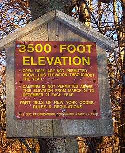  | |
|---|---|---|
| Blackhead Mountains | ||
| Other northeast Catskills | ||
| Devil's Path | ||
| Other central Catskills | ||
| Southwest Catskills | ||
| Burroughs Range | ||
| Other southern Catskills | ||