Beverley Mill
|
Beverley Mill | |
|
Beverley's Mill, HABS Photo | |
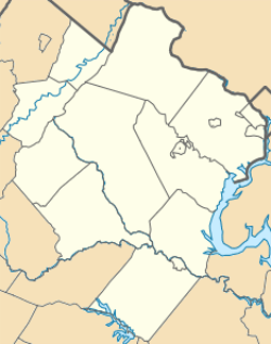 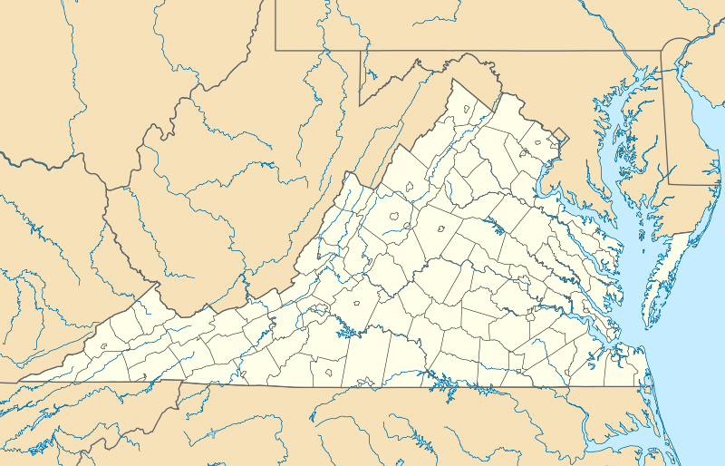  | |
| Location | Junction of Virginia State Route 55 and Beverleys Mill Road, near Broad Run, Virginia |
|---|---|
| Coordinates | 38°49′28″N 77°42′39″W / 38.82444°N 77.71083°WCoordinates: 38°49′28″N 77°42′39″W / 38.82444°N 77.71083°W |
| Area | 9.9 acres (4.0 ha) |
| Built | 1759 |
| Part of | Broad Run-Little Georgetown Rural Historic District (#16000205) |
| NRHP Reference # | 72001411[1] |
| VLR # | 076-0002 |
| Significant dates | |
| Added to NRHP | February 23, 1972 |
| Designated CP | April 21, 2016 |
| Designated VLR | November 1, 1971[2] |
.jpg)
Beverley Mill, also known as Chapman Mill, is a historic grist mill located near Broad Run, Virginia, straddling the county line between Prince William and Fauquier Counties. It was built about 1759, and is a five-story, four bay by three bay, rubble stone structure. The water power was provided by Broad Run Creek which, in its 1,300 foot passage through the Gap, drops 87 feet. Exterior mill machinery remaining includes the 29 foot metal waterwheel and sluice gate as well as the stone mill race. The mill continued in operation through World War II.[3] It is included in the Thoroughfare Gap Battlefield.
The mill was added to the National Register of Historic Places in 1972.[1]
See also
- National Register of Historic Places listings in Prince William County, Virginia
- National Register of Historic Places listings in Fauquier County, Virginia
References
- 1 2 National Park Service (2010-07-09). "National Register Information System". National Register of Historic Places. National Park Service.
- ↑ "Virginia Landmarks Register". Virginia Department of Historic Resources. Retrieved 5 June 2013.
- ↑ Virginia Historic Landmarks Commission Staff (August 1971). "National Register of Historic Places Inventory/Nomination: Beverley Mill" (PDF). Virginia Department of Historic Resources. and Accompanying photo
External links
- Chapman/Beverly Mill Historic Site at Thoroughfare Gap: Turn The Mill Around Campaign
- Beverley's Mill, State Route 55, Haymarket, Prince William County, VA: 1 photo at Historic American Buildings Survey

This article is issued from Wikipedia - version of the 11/30/2016. The text is available under the Creative Commons Attribution/Share Alike but additional terms may apply for the media files.