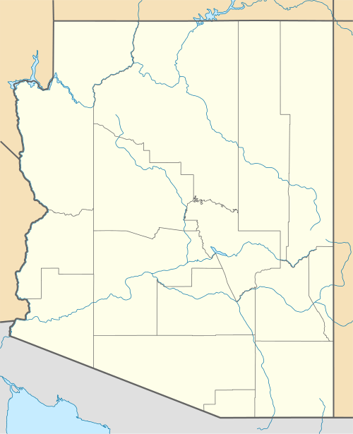
Boulder Canyon (Colorado River)
| Boulder Canyon | |
|---|---|
 Boulder Canyon (Colorado River) Location in | |
| Geography | |
| Coordinates | 36°08′13″N 114°37′23″W / 36.13694°N 114.62306°WCoordinates: 36°08′13″N 114°37′23″W / 36.13694°N 114.62306°W |
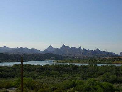
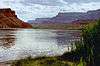
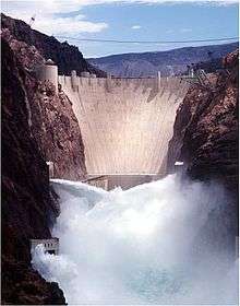
Boulder Canyon, originally Devils Gate Canyon,[1] is a canyon on the Colorado River, above Hoover Dam, now flooded by Lake Mead. It lies between Clark County, Nevada and Mohave County, Arizona. It heads at western end of the Virgin Basin of Lake Mead, at 36°09′05″N 114°32′51″W / 36.15139°N 114.54750°W. The Canyon divides the Black Mountains into the Black Mountains of Arizona, and the Black Mountains of Nevada. Its mouth is under the eastern end of the Boulder Basin of Lake Mead, between Canyon Point in Nevada and Canyon Ridge in Arizona. Its original mouth is under Lake Mead between Beacon Rock and Fortification Ridge on the south shore in Arizona.[2]
History
From 1879 to 1887, the The Southwestern Mining Company was mining large quantities of salt in the mountains along the Virgin River, and had leased steamboats of the Colorado Steam Navigation Company to ship it to their mill at Eldorado Canyon. In April 1883, Captain J. A. Mellon took a small boat up river to Devil's Gate Canyon to plant six ring bolts eight inches in diameter, four feet long, made of 1.75 inches of iron. These ring-bolts were for the purpose of securing lines from the steamers as they passed over the dangerous rapids of Devil's Gate Canyon, during the high water runs of their boats to the mouth of the Virgin River at Rioville.[1]
References
- 1 2 The Arizona Sentinel, April 14, 1883 p. 3, col. 2
- ↑ U.S. Geological Survey Geographic Names Information System: Boulder Canyon
Colorado River system | |||||||||||||||
|---|---|---|---|---|---|---|---|---|---|---|---|---|---|---|---|
| Jurisdictions |
|     | |||||||||||||
| Canyons |
| ||||||||||||||
| Natural features |
| ||||||||||||||
| Tributaries | |||||||||||||||
| Engineering |
| ||||||||||||||
| Designated areas | |||||||||||||||
| Related topics | |||||||||||||||