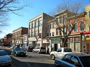
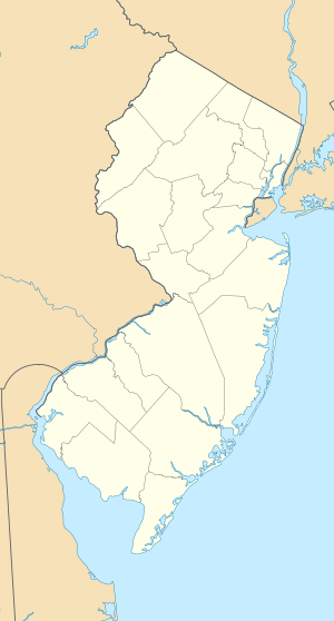
Bridgeton Historic District (Bridgeton, New Jersey)
|
Bridgeton Historic District | |
 | |
   | |
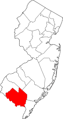
| Location | Roughly bounded by RR Tracks, South Avenue, Lake, Commerce, Water, Belmont, Cohensey, and Penn Streets, Bridgeton, New Jersey |
|---|---|
| Coordinates | 39°25′41″N 75°13′57″W / 39.42806°N 75.23250°WCoordinates: 39°25′41″N 75°13′57″W / 39.42806°N 75.23250°W |
| Area | 616 acres (249 ha) |
| Architect | Multiple |
| Architectural style | Late Victorian |
| NRHP Reference # | 82001043[1] |
| NJRHP # | 1020[2] |
| Significant dates | |
| Added to NRHP | October 29, 1982 |
| Designated NJRHP | February 22, 1982 |
Bridgeton Historic District, is located in Bridgeton, Cumberland County, New Jersey. The district was added to the National Register of Historic Places on October 29, 1982.
See also
References
- ↑ National Park Service (2009-03-13). "National Register Information System". National Register of Historic Places. National Park Service.
- ↑ "New Jersey and National Registers of Historic Places - Cumberland County" (PDF). New Jersey Department of Environmental Protection - Historic Preservation Office. January 10, 2010. p. 12. Archived from the original (PDF) on August 19, 2011. Retrieved April 14, 2010.
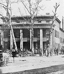
The Davis House on Commerce Street, c. 1855-1866
| Topics |  | ||
|---|---|---|---|
| Lists by county | |||
| Lists by city |
| ||
| Other lists | |||
| |||
This article is issued from Wikipedia - version of the 11/27/2016. The text is available under the Creative Commons Attribution/Share Alike but additional terms may apply for the media files.