Burnaugh, Kentucky
| Burnaugh, Kentucky | |
|---|---|
| Unincorporated community | |
| Nickname(s): Big Town of Burnaugh | |
 Burnaugh, Kentucky  Burnaugh, Kentucky Location within the state of Kentucky | |
| Coordinates: 38°15′37″N 82°34′54″W / 38.26028°N 82.58167°WCoordinates: 38°15′37″N 82°34′54″W / 38.26028°N 82.58167°W | |
| Country | United States |
| State | Kentucky |
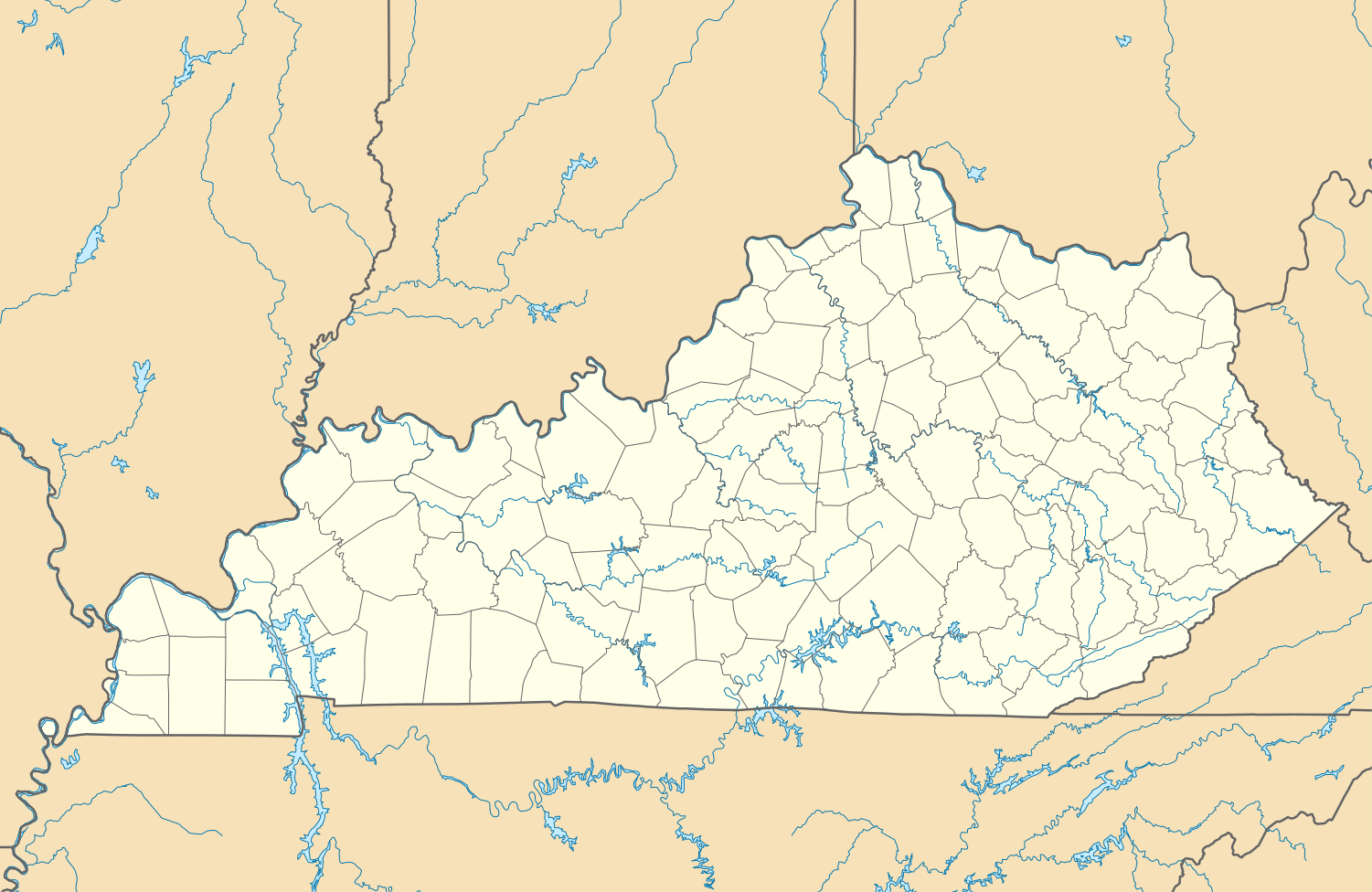
| County | Boyd |
| Elevation | 587 ft (179 m) |
| Time zone | Eastern (EST) (UTC-5) |
| • Summer (DST) | EDT (UTC-4) |
| ZIP code | 41129 |
| GNIS feature ID | 488442[1] |
Burnaugh, Kentucky is an unincorporated community located in Boyd County, Kentucky along U.S. Route 23. Being located between two communities, Burgess Station, a former C&O Freight and passenger terminal and Kavanaugh, it takes its name from the combination of the two communities.[2] It is located on both the former Mayo Trail (Ky. Rt. 3 prior to 1964) and present-day U.S. Route 23. Burnaugh is located within the ZIP Code Tabulation Area for zip code 41129, which includes the nearby city of Catlettsburg.[3]
Special Metals Corporation has operated a facility at Burnaugh since 1967.[4]
References
- ↑ U.S. Geological Survey Geographic Names Information System: Burnaugh, Kentucky Retrieved on 2010-08-08
- ↑ Rennick, Robert M. (1988). "Place Names". Kentucky Place Names. Lexington, Kentucky: The University Press of Kentucky. ISBN 0-8131-0179-4. Retrieved on 2010-08-08
- ↑ Kentucky ZIP Code Lookup Retrieved on 2010-08-08
- ↑ Special Metals Corporation Archived September 23, 2010, at the Wayback Machine. Retrieved on 2010-08-08
Municipalities and communities of Boyd County, Kentucky, United States | ||
|---|---|---|
| Cities | 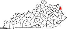 | |
| CDPs | ||
| Unincorporated communities | ||
| Ghost towns | ||
| Footnotes | ‡This populated place also has portions in an adjacent county or counties | |
This article is issued from Wikipedia - version of the 11/19/2016. The text is available under the Creative Commons Attribution/Share Alike but additional terms may apply for the media files.