Ironville, Kentucky
| Ironville | |
|---|---|
| Unincorporated community | |
 Ironville  Ironville Location within the state of Kentucky | |
| Coordinates: 38°27′23″N 82°41′33″W / 38.45639°N 82.69250°WCoordinates: 38°27′23″N 82°41′33″W / 38.45639°N 82.69250°W | |
| Country | United States |
| State | Kentucky |
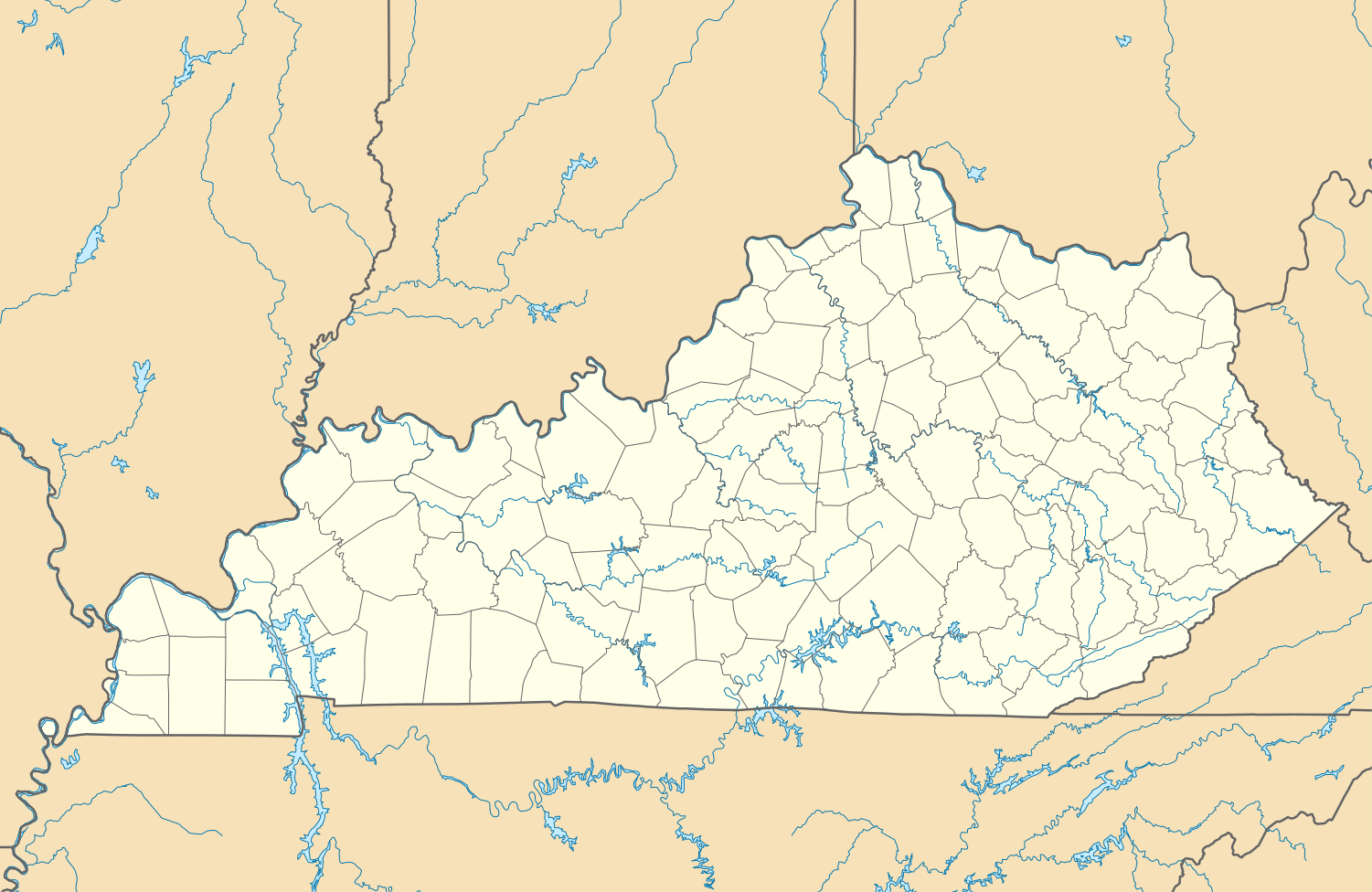
| County | Boyd |
| Population (2000) | |
| • Metro | 288,649 |
| Time zone | Eastern (EST) (UTC-5) |
| • Summer (DST) | EDT (UTC-4) |
| ZIP codes | 41102 |
| GNIS feature ID | 495012[1] |
Ironville is an unincorporated community in Boyd County, Kentucky, United States, near the intersection of Kentucky Route 5 and Kentucky Route 766. Due to its proximity to Ashland, Ironville is often considered to be a part of Ashland, although officially it is separate from the city and serves as a suburb to the city. It shares its ZIP code with Ashland as well.
Ironville is a part of the Huntington-Ashland, WV-KY-OH, Metropolitan Statistical Area (MSA). As of the 2000 census, the MSA had a population of 288,649.
Education
External links
References
Municipalities and communities of Boyd County, Kentucky, United States | ||
|---|---|---|
| Cities | 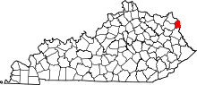 | |
| CDPs | ||
| Unincorporated communities | ||
| Ghost towns | ||
| Footnotes | ‡This populated place also has portions in an adjacent county or counties | |
This article is issued from Wikipedia - version of the 7/27/2016. The text is available under the Creative Commons Attribution/Share Alike but additional terms may apply for the media files.