Cacolo Airport
| Cacolo Airport | |||||||||||
|---|---|---|---|---|---|---|---|---|---|---|---|
| IATA: none – ICAO: FNCC | |||||||||||
| Summary | |||||||||||
| Airport type | Public | ||||||||||
| Serves | Cacolo | ||||||||||
| Location | Angola | ||||||||||
| Elevation AMSL | 4,400 ft / 1,341 m | ||||||||||
| Coordinates | 10°6′35″S 19°17′10″E / 10.10972°S 19.28611°ECoordinates: 10°6′35″S 19°17′10″E / 10.10972°S 19.28611°E | ||||||||||
| Map | |||||||||||
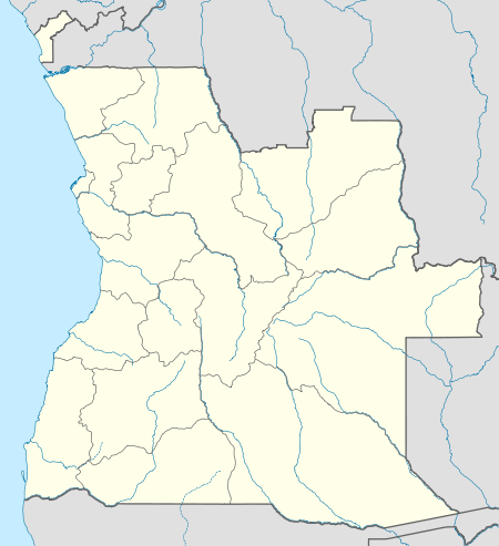 FNCC Location of Cacolo Airport in Angola | |||||||||||
| Runways | |||||||||||
| |||||||||||
Cacolo Airport (ICAO: FNCC) is a public use airport 3.8 kilometres (2.4 mi) north of Cacolo, in Lunda Sul Province, Angola.
See also
 Angola portal
 Aviation portal
- List of airports in Angola
- Transport in Angola
References
- ↑ "FNCC @ aerobaticsweb.org". Landings.com. Retrieved 2013-07-31.
- ↑ Google Maps - Cacolo
- ↑ Airport information for FNCC at Great Circle Mapper.
External links
- "FNCC @ aerobaticsweb.org". Landings.com.
- OurAirports - Cacolo
- OpenStreetMap - Cacolo
This article is issued from Wikipedia - version of the 6/20/2016. The text is available under the Creative Commons Attribution/Share Alike but additional terms may apply for the media files.