Caleta Chaihuín
| Caleta Chaihuín | |
|---|---|
| hamlet | |
 Caleta Chaihuín | |
| Coordinates: 39°57′08″S 73°34′32″W / 39.95222°S 73.57556°WCoordinates: 39°57′08″S 73°34′32″W / 39.95222°S 73.57556°W | |
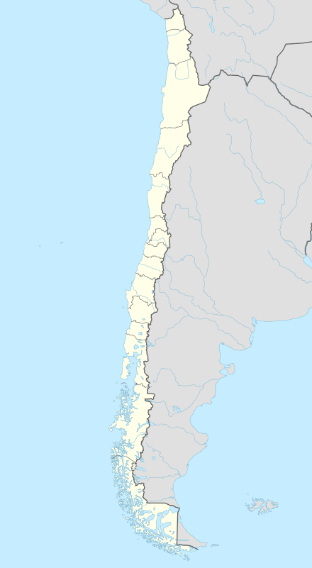
| Region | Los Ríos |
| Province | Valdivia |
| Municipalidad | Corral |
| Comuna | Corral |
| Government | |
| • Type | Municipalidad |
| • Alcade | Miguel Herández Mella |
| Population (2002)[1] | |
| • Total | 36 |
| hamlet | |
| Time zone | Chilean Standard (UTC−04:00) |
| • Summer (DST) | Chilean Daylight (UTC−03:00) |
| Area code(s) | Country + town = 56 + 43 |
Caleta Chaihuín (Chaihuín) is a coastal hamlet (Spanish: caserío) and rural district in the commune of Corral, Los Ríos Region, Chile.[2] It lies at the mouth of Chaihuín River that flows from the Valdivian Coast Range to the Pacific Ocean. Silt from the river combined with the prevailing coastal current have formed a barrier-bar across the cove creating an estuary.[3][4] The administration and main entrance to the Valdivian Coastal Reserve lies in Chaihuín.
History
The indigenous inhabitants of the area are Huilliche people.[5]
During the early 1970s Chaihuín was considered a hot-bed of the Revolutionary Left Movement (MIR), but with limited actual anti-government activity.[6][7]
In 2010 a new ferry service from the town of Corral was inaugurated.[8]
Demographics
The rural district of Chaihuín encompasses a larger area than the hamlet itself. Its population has grown from 206 in 1920 to over 800.[9]
| Census year | Total population |
|---|---|
| 1920 | 206 |
| 1930 | 242 |
| 1952 | not reported |
| 1960 | 501 |
| 1970 | 473 |
| 1982 | 504 |
| 1992 | 677 |
| 2002 | 788 |
Notes and references
- ↑ "Chile: Ciudades Pueblos Aldeas y CaserÍos (Censo 2002)". Instituto Nacional de Estadísticas. 2005. Archived from the original on 14 December 2006.
- ↑ Technically "Caleta Chaihuín" refers to the cove, Caleta Chaihuín (Approved - N) at GEOnet Names Server, United States National Geospatial-Intelligence Agency, and "Chaihuín" refers to the village Chaihuín (Approved - N) at GEOnet Names Server, but the two are used synonymously for the caserío (hamlet). "Establecimientos De Los Rios: Corral". Sistema Nacional de Servicios de Salud, Ministerio de Salud (Ministry of Health). Archived from the original on 11 August 2015.
- ↑ Altamirano, Ramiro Lagos; Osorio, Alex Hernández (2004), Interacción Océano-Continente en el Curso Inferior de la Cuenca del Río Colún, X Región, Chile (PDF), VIII Congreso Internacional de Ciencias de la Tierra, Instituto Geográfico Militar, Santiago, archived (PDF) from the original on 14 December 2010
- ↑ Hickling, C. F. (1970). "Chapter 2 Estuarine Fish Farming". In Russell, Frederick S.; Yonge, C. Maurice. Advances in Marine Biology. Volume 8 of Advances in Marine Biology. London: Academic Press. pp. 119–213, page 122. ISBN 978-0-08-057931-3.
- ↑ "Guías locales de Chaihuín se capacitaron para mejorar su servicio gracias al Fondo de Iniciativas". El Caulle (in Spanish). 14 December 2014. Archived from the original on 11 August 2015.
- ↑ Le Bonniec, Fabien (2013). "La participación de las comunidades mapuche-huilliche en el proceso de la Reforma Agraria en la Provincia de Valdivia (1970–1973)". Revista Austral de Ciencias Sociales (in Spanish). 24: 27–49. doi:10.4206/rev.austral.cienc.soc.2013.n24-02.
- ↑ Cangas, Yanko González (2004). Óxidos de identidad: Memoria y juventud rural en el Sur de Chile (1935–2003) (PDF). Doctoral thesis (in Spanish). Barcelona, Spain: Universitat Autònoma de Barcelona. p. 293.
- ↑ Varsavsky, Julián (24 June 2012). "Chile. Otoño/Invierno en la Costa Valdivian: Bosque, Andes y Pacífico". Página 12. Archived from the original on 11 August 2015.
- ↑ Cangas 2004, p. 311
External links
- "Chaihuin: Plan de Protección Civil Ante Tsunami, Comuna de Corral, Xiv Región de Los Ríos" (PDF) (in Spanish). Archived (PDF) from the original on 11 August 2015. Detailed map of Chaihuín rural district.