Camabatela Airport
| Camabatela Airport Aeroporto de Camabatela | |||||||||||
|---|---|---|---|---|---|---|---|---|---|---|---|
| IATA: none – ICAO: FNCM | |||||||||||
| Summary | |||||||||||
| Airport type | Public | ||||||||||
| Serves | Camabatela | ||||||||||
| Location |
| ||||||||||
| Elevation AMSL | 1,410 ft / 430 m | ||||||||||
| Coordinates | 8°10′40″S 15°23′00″E / 8.17778°S 15.38333°ECoordinates: 8°10′40″S 15°23′00″E / 8.17778°S 15.38333°E | ||||||||||
| Map | |||||||||||
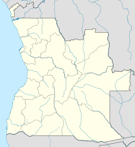 FNCM Location of Camabatela Airport in Angola | |||||||||||
| Runways | |||||||||||
| |||||||||||
Camabatela Airport Portuguese: Aeroporto de Camabatela (ICAO: FNCM) is a public use airport serving Camabatela, Cuanza Norte Province, Angola.
See also
 Angola portal
 Aviation portal
- List of airports in Angola
- Transport in Angola
References
- ↑ Airport record for Camabatela Airport at Landings.com. Retrieved 2013-09-02
- ↑ Google (2013-09-02). "location of Camabatela Airport" (Map). Google Maps. Google. Retrieved 2013-09-02.
External links
This article is issued from Wikipedia - version of the 11/8/2016. The text is available under the Creative Commons Attribution/Share Alike but additional terms may apply for the media files.