Casalabriva
| Casalabriva | |
|---|---|
|
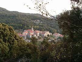
The village of Casalabriva | |
 Casalabriva | |
|
Location within Corsica region 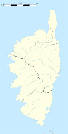 Casalabriva | |
| Coordinates: 41°45′14″N 8°56′16″E / 41.7539°N 8.9378°ECoordinates: 41°45′14″N 8°56′16″E / 41.7539°N 8.9378°E | |
| Country | France |
| Region | Corsica |
| Department | Corse-du-Sud |
| Arrondissement | Sartène |
| Canton | Petreto-Bicchisano |
| Intercommunality | Taravu |
| Government | |
| • Mayor (2008–2014) | Vincent Micheletti |
| Area1 | 15.92 km2 (6.15 sq mi) |
| Population (2008)2 | 180 |
| • Density | 11/km2 (29/sq mi) |
| Time zone | CET (UTC+1) |
| • Summer (DST) | CEST (UTC+2) |
| INSEE/Postal code | 2A071 / 20140 |
| Elevation |
16–1,115 m (52–3,658 ft) (avg. 600 m or 2,000 ft) |
|
1 French Land Register data, which excludes lakes, ponds, glaciers > 1 km² (0.386 sq mi or 247 acres) and river estuaries. 2 Population without double counting: residents of multiple communes (e.g., students and military personnel) only counted once. | |
Casalabriva is a commune in the Corse-du-Sud department of France on the island of Corsica.
Population
| Historical population | ||
|---|---|---|
| Year | Pop. | ±% |
| 1856 | 311 | — |
| 1876 | 380 | +22.2% |
| 1891 | 449 | +18.2% |
| 1900 | 422 | −6.0% |
| 1911 | 529 | +25.4% |
| 1922 | 440 | −16.8% |
| 1946 | 296 | −32.7% |
| 1962 | 150 | −49.3% |
| 1968 | 162 | +8.0% |
| 1975 | 139 | −14.2% |
| 1982 | 136 | −2.2% |
| 1990 | 150 | +10.3% |
| 1999 | 181 | +20.7% |
| 2008 | 180 | −0.6% |
See also
References
| Wikimedia Commons has media related to Casalabriva. |
This article is issued from Wikipedia - version of the 1/28/2015. The text is available under the Creative Commons Attribution/Share Alike but additional terms may apply for the media files.